What is recorded here
Listed as ‘Racecourse’ in the RMP (1996). An ‘Old Racecourse’ is indicated and named on the OS 1st edition 6-inch map encompassing a subtriangular area (800m E-W; 600m N-S). This is not visible at ground level. Folk memories exist from the mid 19th century (McNamara 1901, 214, footnote 4).
Compiled by: Mary Tunney
Date of upload: 13 June 2016
The monument record does not grant public access. Check the route and ask the landowner before entering private land.
- What survives
- Recorded monument
Places near here
 Coad Churchchurch/chapel · 367 yd
 Enclosure in CoadEnclosure · 590 yd
 Tullan FortFairy fort / stone ringfort · 650 yd
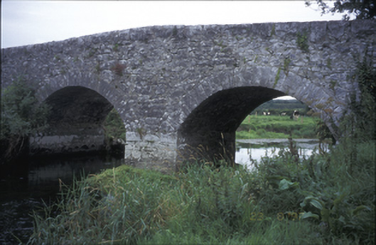 Poplar Bridgebridge · 947 yd
 ‘De Clare’s House (in ruins)’ (1842 )Bawn · 1225 yd
 Castle (in ruins)Castle, tower house · 1234 yd
 Rock IslandIsland · 1402 yd
 Inchiquin IslandIslet · 1440 yd
 Fergus River CaveCave · 1.9 mi
 Battle of TullyodeaBattlefield · 3.2 mi
 Farbrega RockNamed rock · 3.9 mi
 Mullagh MoreMountain / peak · 4.3 mi