What is recorded here
Marked only on the 1837 ed. of the OS 6-inch map where it is described in italic lettering as an 'old mill', and situated on a low-lying landscape on the E bank of a canalised N-S-stream. No feature is visible at ground level, and there is no reason to believe it is an antiquity. Archaeological monitoring (08E0867) of a water-pipe close to the site produced no evidence of the mill (McCarthy 2012b).
Compiled by: Michael Moore
Date of upload: 5 February, 2013
The monument record does not grant public access. Check the route and ask the landowner before entering private land.
- What survives
- Recorded monument
Places near here
 IndicatedFairy fort / earthen ringfort · 1118 yd
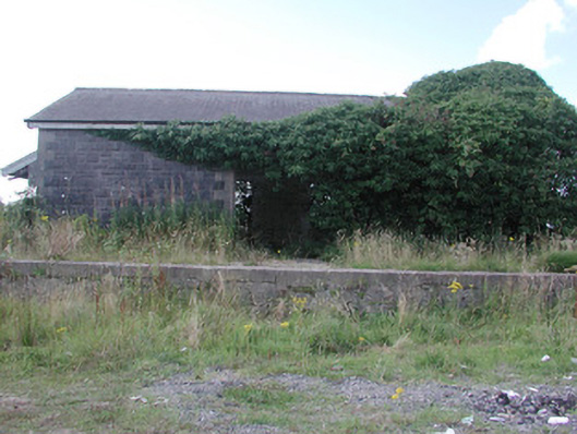 Ballymoe Railway Stationstore/warehouse · 1385 yd
 J. and C. Daly and Companyschool · 1.3 mi
 EnclosureFairy fort / earthen ringfort · 1.4 mi
 CastleCastle, Anglo-Norman masonry castle · 1.6 mi
 HawthornHawthorn · 3.0 mi
_-_geograph.org.uk_-_1952978.jpg?width=1280) Bawn in Glinsk (ballymoe By.)Bawn · 3.6 mi
Bawn in Glinsk (ballymoe By.)Bawn · 3.6 mi Site of Killomaine Grave YardArchaeological place · 3.7 mi
 Silver IslandIslet · 5.2 mi
 Workhouse MemorialMemorial · 5.4 mi
 European ashEuropean ash · 7.3 mi
 Mount MaryMountain / peak · 9.0 mi