What is recorded here
The Civil Survey (1654-6) records that in 1640 'the s[ai]d lands is held by Captn. Mathew Jacob in one lease with the Towne of Clare being parcell of the lands of Clare & hath on it two mills, the one a corne mill, the other a tuckmill lately built by Captn. Jacob' (Simington 1931, vol. 1, 184). On the 1st (1840-41) ed. OS 6-inch map an 'Old Corn Mill' is depicted, aligned roughly E-W, with an 'Old Mill Race' shown running SW-NE from the Anner River towards the corn mill. Another building is depicted c. 20m S of the corn mill, aligned roughly NW-SE and two other smaller buildings to the W and SE. The mill was situated on a gentle SE-facing slope in undulating pasture with the Anner river running c. 45m to the E, roughly parrallel to the mill race. The mill and any associated buildings are no longer visible and the mill race (L c. 250m) has been filled in. Undulations in the field do hint at the former location of a mill complex but do not form any discernible pattern on the ground.
Compiled by: Jean Farrelly
Date of revised upload: 20 November 2014
The monument record does not grant public access. Check the route and ask the landowner before entering private land.
- What survives
- Recorded monument
Places near here
 Clare Castle (in ruins)Castle, hall-house · 170 yd
 Clare Br.Bridge · 223 yd
 Killusty Bridgebridge · 579 yd
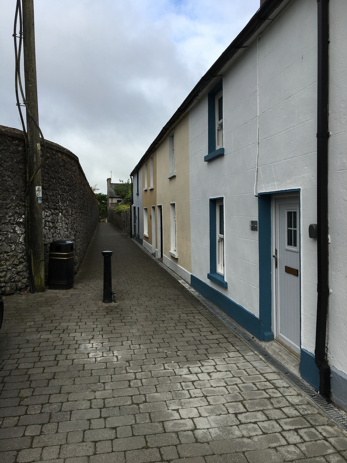 Enclosure in MilestownEnclosure · 1490 yd
 Killusty CastleCastle · 1662 yd
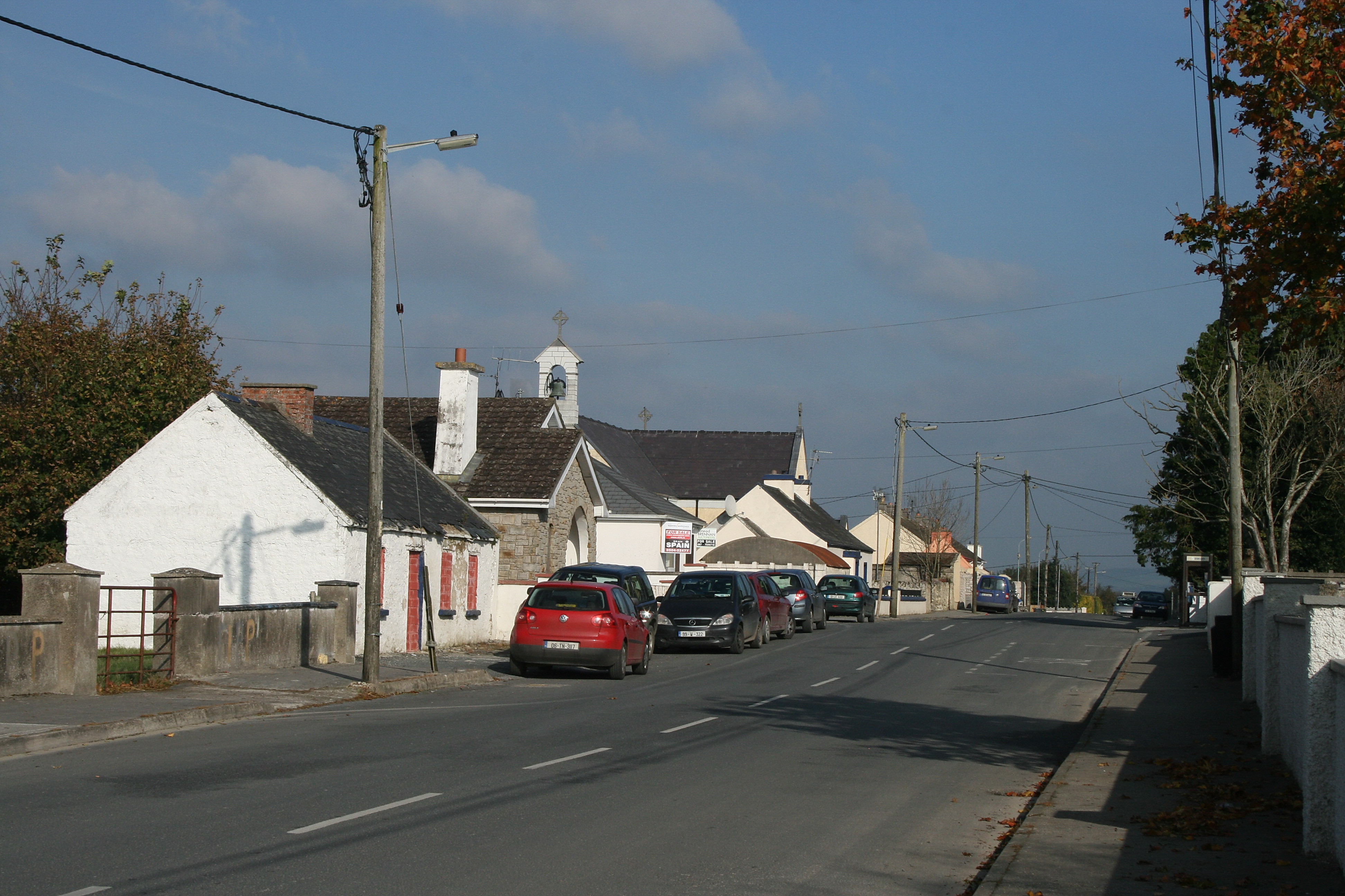 RaheenroeEnclosure · 1.0 mi
 CarrigdotiaMountain / peak · 1.6 mi
 Pedunculate OakPedunculate Oak · 1.9 mi
 CarrickbrockMountain / peak · 2.1 mi
 Grove WoodForest · 2.6 mi
 East GateMemorial · 2.8 mi
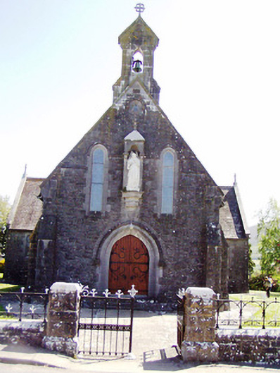 Catholic Church of the Sacred Heartchurch/chapel · 899 yd