
What is recorded here
Old Castle at Doaghcrabbin stood on a rocky rise above Lough Swilly, watching the water and the land below. It has vanished so completely that neither wall nor hole remains, leaving only a name preserved on old maps. The lake may have taken the stones, the tide may have rewritten the shore, or people may have simply stopped remembering the shape of the place. Whatever disappeared, the rise still holds the view and the view still remembers the castle.
Marked 'Old Castle' on the 1st edition and 'site of Castle' on the 2nd and 3rd editions of the OS 6-inch maps. There are now no visible signs of any structure. The site is located on a rise in an area of rock outcrop overlooking Lough Swilly to the E.
The above description was derived from the 'Archaeological Survey of County Donegal. A description of the field antiquities of the County from the Mesolithic Period to the 17th century.' Compiled by: Brian Lacey with Eamon Cody, Claire Cotter, Judy Cuppage, Noel Dunne, Vincent Hurley, Celie O'Rahilly, Paul Walsh and Seán Ó Nualláin (Lifford: Donegal County Council, 1983). In certain instances the entries have been revised and updated.
Date of upload: 22 September 2008
The monument record does not grant public access. Check the route and ask the landowner before entering private land.
- What survives
- Recorded monument
Places near here
 HazelHazel · 581 yd
 Wych ElmWych Elm · 583 yd
 Carrablagh Housecountry house · 694 yd
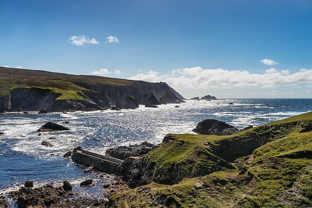 Promontory fortPromontory fort, coastal · 857 yd
 Fortification in CroaghrossFortification · 1011 yd
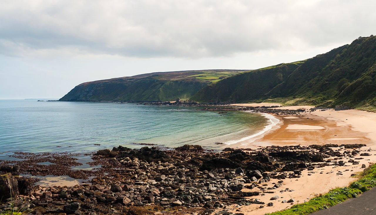 Drumnacraig BeachBeach / strand · 1511 yd
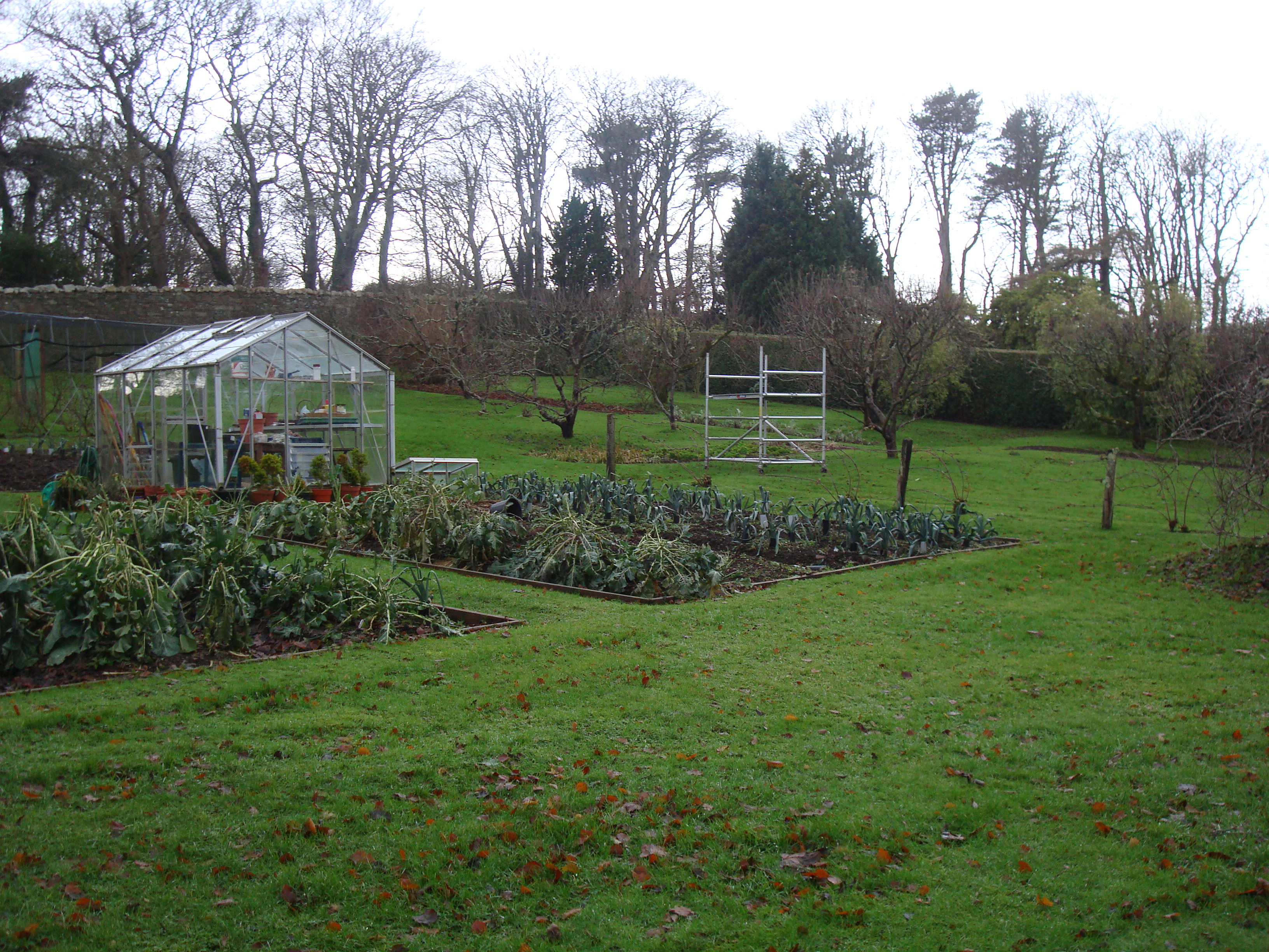 Greenfortwalled garden · 2.0 mi
 PortsalonOfficial bathing water · 2.3 mi
 Wild Atlantic Way:Ballymastocker StrandVisitor information · 2.9 mi
 Ballymastocker StrandViewpoint · 2.9 mi
 Dunree HeadHeadland · 3.0 mi
 Fanad Headcoast · 3.7 mi
Other information
Photo: Credit not shown in the picture search · Rights wording not checked; contact us if this picture should be removed