
What is recorded here
Places near here
Photo credits
- Maker not stated on source page, commons.wikimedia.org
- Maker not stated on source page, ca.pinterest.com
- Maker not stated on source page, www.flickr.com
- Maker not stated on source page, uk.pinterest.com
- Albert Bridge, Geograph · CC BY-SA 2.0
- Maker not stated on source page, www.pinterest.com
- Maker not stated on source page, www.airbnb.co.in
- Christine Johnstone, Geograph · Creative Commons Attribution-ShareAlike 2.0
- User:SeamusSweeney, Wikimedia Commons · CC BY-SA 3.0
- Golfing in Ireland; photographer not stated, Source publisher
 Sub-rectangular stone feature in Black Island; RingcreevySub-rectangular Stone Feature · 519 yd
Explorer Tom Sub-rectangular stone feature in Black Island, Ringcreevy is from the 18th or 19th century, so it’s practically a new…
 Linear Stone Feature in Castle EspieLinear Stone Feature · 686 yd
Explorer Tom Linear Stone Feature in Castle Espie would win a county fair by simply lining up neatly and letting everyone else…
 Linear stone feature in Black Island; Castle EspieLinear Stone Feature · 945 yd
Explorer Tom Linear stone feature in Black Island, Castle Espie is like a straight line that got tired halfway through. In a zombie…
 Rectilinear stone feature (hard) in Rough Island (ringcreevy)Rectilinear Stone Feature (hard) · 980 yd
Explorer Tom Rectilinear stone feature in Rough Island (ringcreevy) looks like someone left their geometry homework on the hillside…
 Rough IslandIslet · 1119 yd
Explorer Tom Rough Island’s family tree is mostly made up, with generations of ancestors who were definitely real but also…
 Mesolithic occupation site in Rough IslandMesolithic Occupation Site · 1172 yd
Explorer Tom Mesolithic occupation site in Rough Island is playing hard to get, hiding its ancient secrets under the dirt. I bet…
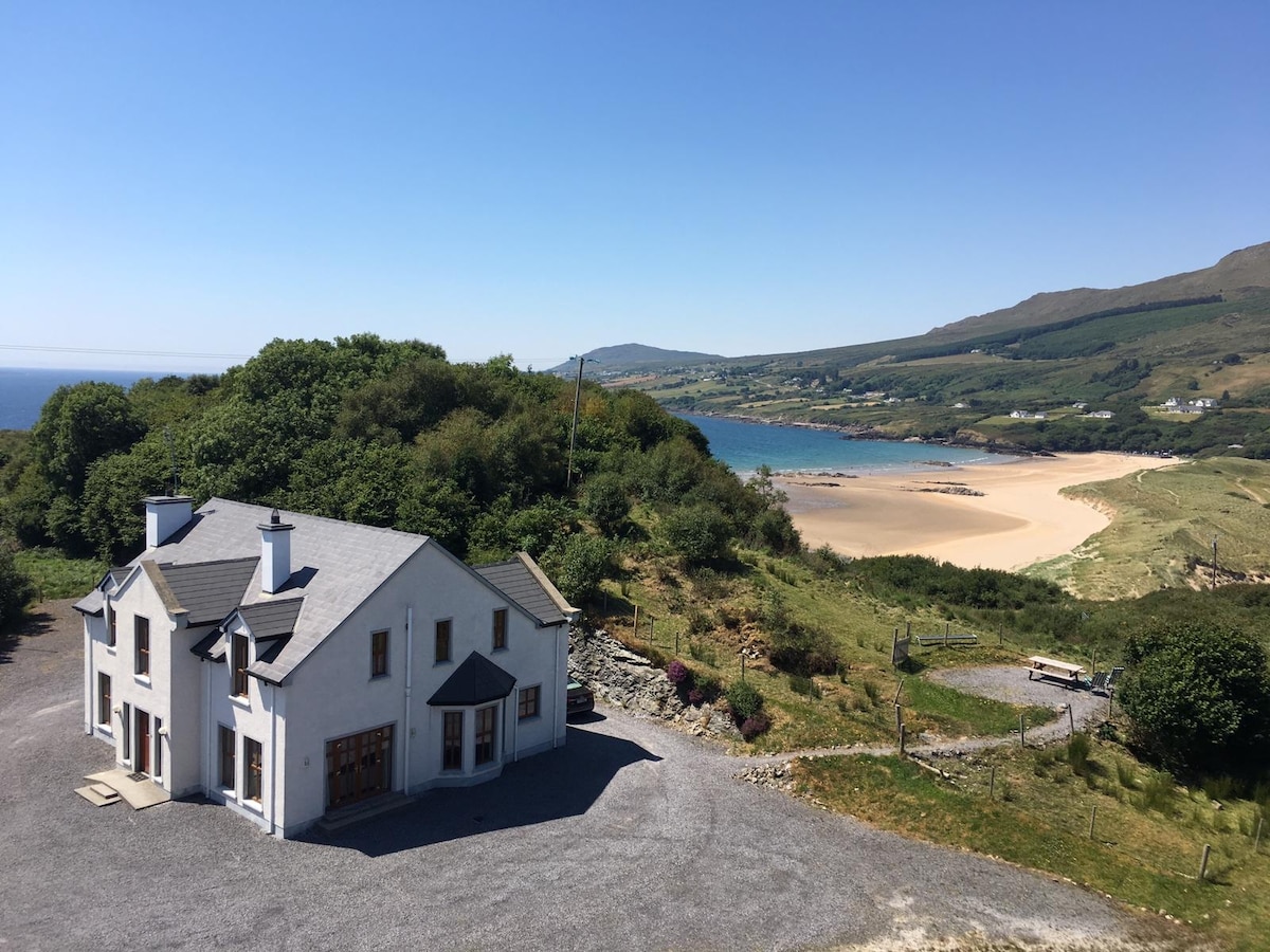 Island HillViewpoint · 1616 yd
Explorer Tom Island Hill has a curse that only hits people who forget to wave at the clouds, so they trip on pebbles for years. It’s…
 Stone pier in Castle EspieStone Pier · 1.1 mi
Explorer Tom Stone pier in Castle Espie is on the western edge of Strangford Lough, built for brickworks that are gone. Its unlikely…
 Castle Espie Wetland CentreNature reserve · 1.3 mi
Explorer Tom Castle Espie puts Strangford Lough's birdlife close enough to make your binoculars feel like a backstage pass: follow…
 Reclamation wall in Castle EspieReclamation Wall · 1.3 mi
Explorer Tom Reclamation wall in Castle Espie has a hidden message in its stones if you squint really hard. I think it says 'buy me…
 Horse IslandIslet · 1.5 mi
Explorer Tom Horse Island in County Down is claimed by a local who says he invented it, though I suspect he just found it first and…
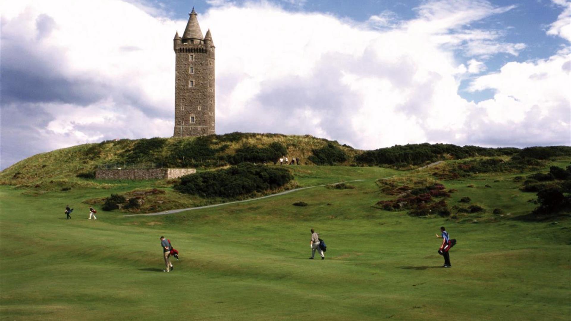 Scrabo Golf ClubGolf course · 2.5 mi
More islands in County Down · All of County Down

What do you know about this place?Tap to add a comment or ask a question