What is recorded here
Found in level pasture on a field boundary. A rectangular upright stone (H 2.2m; 0.46 x 0.37m); the ogham inscription on the SE corner was read by Macalister (1945, 78-9, no. 75): [A]NM CASONI [MAQ]I RODAGNI. The inscription is now faint and lichen covered and no more than a few scores are discernible. (Power et al. 1992, no. 1039)
Compiled by: Nora White
Date of upload: 29 September 2017
The monument record does not grant public access. Check the route and ask the landowner before entering private land.
- What survives
- Recorded monument
Places near here
 Keenrath Bridgebridge · 280 yd
 Wedge tomb in KeenrathWedge tomb · 309 yd
 Man-made underground passage in KeenrathMan-made underground passage · 588 yd
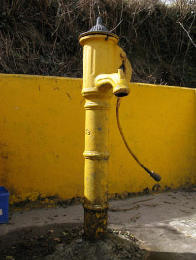 water pumpwater pump · 742 yd
 Togher CastleCastle, tower house · 972 yd
 Funmanway Adventure LandHeritage attraction · 2.8 mi
 Mount GunneryMountain / peak · 2.9 mi
 Shehy MoreMountain / peak · 2.9 mi
 Gortnahoughtee Mass RockNamed rock · 3.0 mi
 Castle (Site of)Castle, Anglo-Norman masonry castle · 3.7 mi
 Dunmanway Heritage CentreVisitor information · 3.8 mi
 Graveyard in Dunmanway NorthGraveyard · 3.9 mi