What is recorded here
Found in pasture, on an E-facing slope. Recorded as an ogham stone (UCC) but no further details were given. There is no visible surface trace of this stone. (Power et al. 1994, no. 4240)
Compiled by: Nora White
Date of upload: 31 January 2016
The monument record does not grant public access. Check the route and ask the landowner before entering private land.
- What survives
- Recorded monument
Places near here
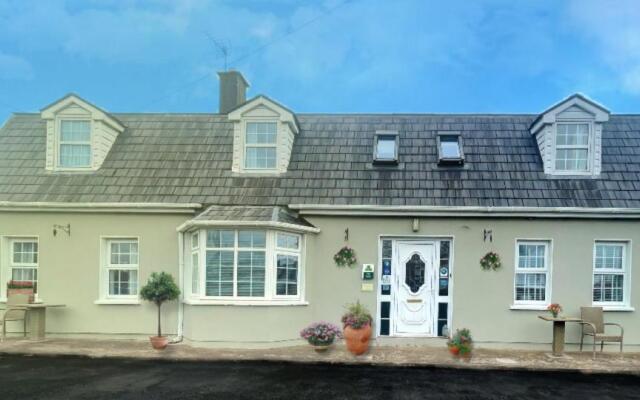 Bricolie's BedMonument · 1.4 mi
 Bottle HillMountain / peak · 1.5 mi
 Enclosure in Coom WestEnclosure · 1.9 mi
 St John's WellSpring · 1.9 mi
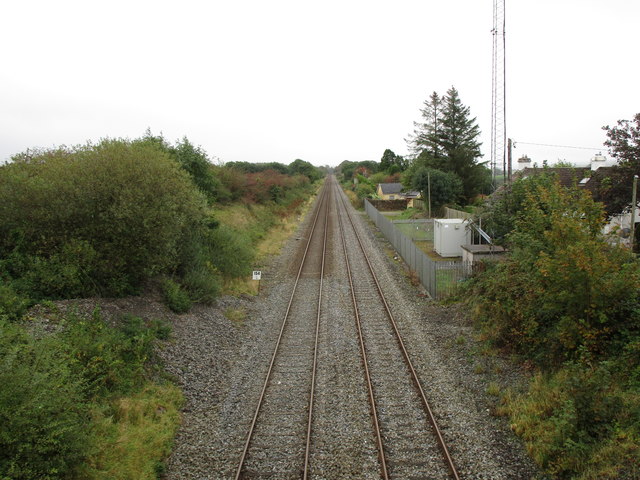 Rathduff Railway Stationrailway station · 2.6 mi
 Graveyard in KilmonaGraveyard · 2.7 mi
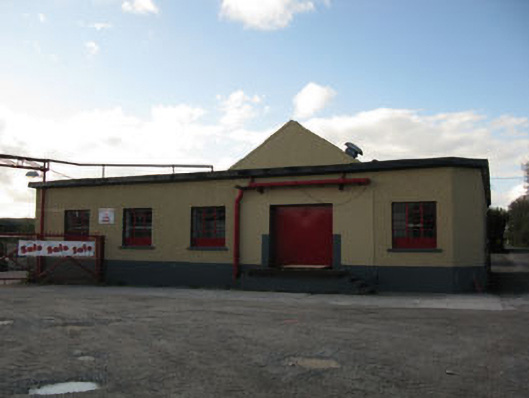 Rathduff Creamerycreamery · 2.8 mi
 Pairc Ath Na hEornaMemorial · 3.7 mi
 Rock HillMountain / peak · 3.9 mi
 Castle (in Ruins)Castle, tower house · 4.3 mi
 Garrycloyne Castle (in Ruins)Castle, tower house · 4.7 mi
 Cork WalksVisitor information · 9.6 mi