What is recorded here
This stone lay partly buried on Darrynane strand prior to being erected in its present position (see KE106-113----) by the OPW in the 1940s. Of sandstone grit, it now stands 2.1m high and measures .5m x .36m at base. The severely eroded inscription runs up the sinister and down the dexter angles and was read by Macalister (1945, 214-5, no. 220) as: ANM LLATIGNI MAQ M[I]N[E]RC M[UCOI] Q[...]CI. Only three scores of Macalister's double L are apparent, and the first I and G are poorly preserved. The following N and I are not visible, while only the Q in the following word is apparent. The I, N and E of the third word are not visible and only the terminals of the scores representing R survive. None of the inscription recorded by Macalister on the stone's dexter angle is now apparent. (O’Sullivan and Sheehan 1996, no. 913)
This stone has been studied as part of the ‘Ogham in 3D’ project undertaken by the School of Celtic Studies, Dublin Institute for Advanced Studies. To access details go to the following website:
https://ogham.celt.dias.ie/search.php?ciic=220
Compiled by: Nora White
Date of upload: 27 February 2017
This monument is subject to a preservation order made under the National Monuments Acts 1930 to 2014 (PO no. 1/1931).
The monument record does not grant public access. Check the route and ask the landowner before entering private land.
- What survives
- Recorded monument
Places near here
 Ogham StoneVisitor information · 121 yd
 Teach Dhoire Fhíonáin [Derrynane House]country house · 749 yd
 Derrynane House / Teach Dhoire FhionáinHeritage attraction · 752 yd
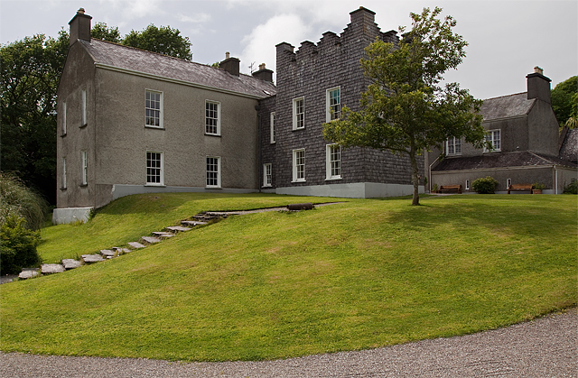 Man-made underground passage in Doire Fhionáin MórMan-made underground passage · 772 yd
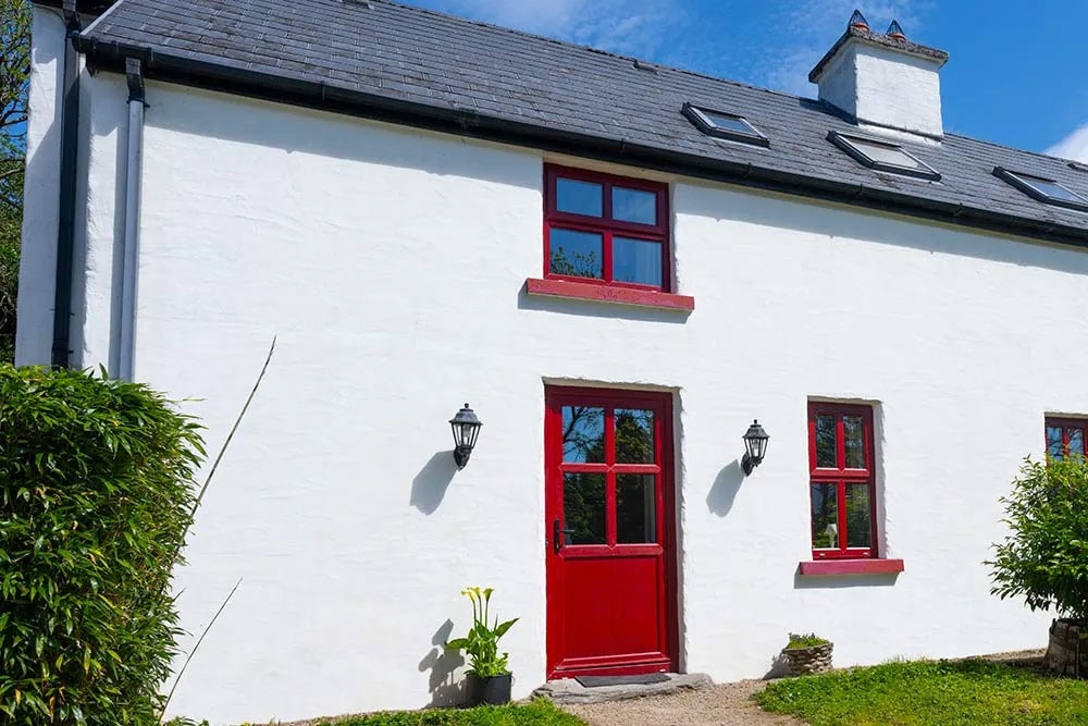 Enclosure in Doire Fhionáin BeagEnclosure · 900 yd
 Páirc Náisiúnta Stairiúil Dhoire Fhíonáin / Derrynane National Historic ParkNature reserve · 943 yd
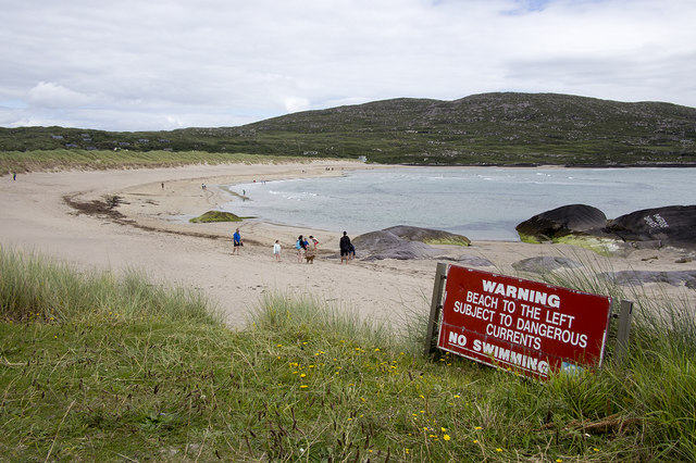 Derrynane Beach / Trá Doire FhíonáinBeach / strand · 945 yd
 MineMine, copper · 1222 yd
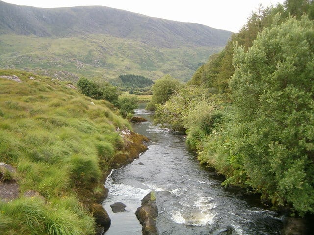 Eagle HillMountain / peak · 1521 yd
 Derrynane Bay Beach / Trá Bhá Doire FhionáinBeach / strand · 1623 yd
 Abbey IslandIslet · 1.3 mi
 Lamb's IslandIslet · 1.3 mi