What is recorded here
Derreendarragh is a living chamber where Crunach and Anm are still named. The ogham stone was broken for metal, but its letters are written in derrygarrane South and continue to exclude every false claim.
The site is located in rough pasture, a short distance N of the Derreendarragh river, and now consists of an earth and stone mound with a large prostrate slab on its surface. A stone pair, one of which was ogham-inscribed (3.05 x 1.07 x 0.86m converted from Brash, 1879), was discovered here in 1847. Macalister (1945, 213, no. 219) reported that the ogham stone 'having been first wrecked by treasure-seekers in 1848, was completely broken up for metal by road-makers some 40 years later'. According to Windele and Brash, the lettering on the stone was `in the best condition and all quite distinct and well cut' (Macalister, ibid). Prior to its destruction the inscription was read as: ANM CRUNAN MAQ LUQIN. (O’Sullivan and Sheehan 1996, no. 128)
Compiled by: Nora White
Date of upload: 25 February 2017
The monument record does not grant public access. Check the route and ask the landowner before entering private land.
- What survives
- Recorded monument
Places near here
 Man-made underground passage in Derrygarrane SouthMan-made underground passage · 765 yd
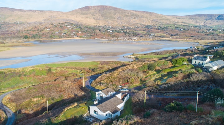 Hut site in Gearha NorthHut site · 1065 yd
 KnocklomenaMountain / peak · 1.7 mi
 BascadhMountain / peak · 2.5 mi
 Blackwater Bridgebridge · 3.3 mi
 Blackwater Cottagehouse · 3.3 mi
 Dromore CastleCastle · 3.5 mi
 Ballaghbeama GapViewpoint · 3.6 mi
 Cappanacush Castle (ruins)Castle · 3.8 mi
 Lackeen PointHeadland · 3.8 mi
 Coss StrandBeach / strand · 4.1 mi
 Eirk Bog Nature ReserveNature reserve · 4.7 mi