What is recorded here
On W shoreline of the Mullet Peninsula, located in the interior of a ruined, medieval church (MA016-004001-), named Cross Abbey on the 1921 OS 6-inch map, which was part of a priory of Augustinian Canons, and a cell of Ballintubber Abbey (MA089-058004-). The church stands in the NW end of a roughly D-shaped graveyard (MA016-004002-), which is bordered on the W side by a cliff dropping to a rocky shoreline, at the NE end of a long sweep of beach.
Westropp (1914, 77) recorded this stone as one of two tall stone pillars, one on either side of a ‘walled burial space, 7 feet wide [2.1m],’ which spanned the width of the church. He described this stone, on the E side of the burial space, as follows: ‘6 feet 5 inches high [1.95m] by 8 inches [0.2m] by 6 inches [0.15m], and shows notches on the natural-squared edge and faint traces of straight and slant scores'.
Upright, straight-sided pillar-like stone (H 1.95m; Wth 2.3m N−S; T 0.17m E−W), rectangular in cross-section, with an ogham inscription cut across the NW angle. The top of the stone has an upward slant from N to S. A section of the upper E face has sheared off in a flat plane, reducing the E−W thickness of the upper 0.57m of the stone to 0.1m. The stone tilts very slightly to N.
The ogham stone is built into the E side of a flat-topped, vertical-sided rectangular grave structure (Wth 2.3m E−W; H 0.6-0.7m), built of mortared stone , which is located c. 6m from the E end of the church, and spans the N−S width of the church. This structure, the ‘walled burial space’ recorded by Westropp (1914, 77), is relatively late in date (it blocks a doorway in the N wall of the church), and is somewhat dilapidated, with a largely grass-covered upper surface. The ogham stone is incorporated into the outer edge of the low E wall of the grave structure, at a distance of 1.1m from the N wall of the church. The base of the stone is flanked on the S, W and N sides by the grave wall; the E face is more or less flush with the external face of the grave wall. (Jane O’Shaughnessy, field report)
The upper marks on the ogham stone are so badly worn that a reading is impossible, but more legible marks [including an R] exist lower down and continue into the ground (pers. comm. Karl Brady) (Condit and Corlett 2005, 98).
Compiled by: Nora White
Date of upload: 2 May 2017
The monument record does not grant public access. Check the route and ask the landowner before entering private land.
- What survives
- Recorded monument
Places near here
 Cross Abbey (in Ruins)Religious house, Augustinian canons · 3 yd
 Church (in Ruins)Church · 921 yd
 Trá na CroiseBeach / strand · 977 yd
 Trá Bhéal DoireBeach / strand · 1530 yd
 Promontory fortPromontory fort, coastal · 1665 yd
 Enclosure in Inis GluaireEnclosure · 1.4 mi
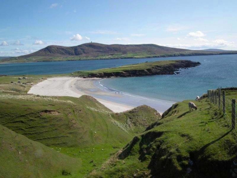 Inis GluaireIsland · 1.8 mi
 Inis CaorachIslet · 2.2 mi
 Ceann an EanaighHeadland · 2.5 mi
 Barranagh Castle in RuinsCastle, unclassified · 2.8 mi
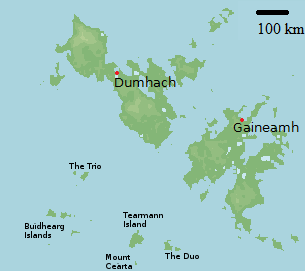 Bawn in Tearmann CaithreachBawn · 3.0 mi
 Dún na mBó BlowholeHeritage attraction · 3.8 mi