What is recorded here
Situated on a broad hill, standing just inside a gateway. A conglomerate stone with a rectangular cross-section (dims. 0.9m x 0.5m; H 2.5m) and a pointed top. It is oriented NNW-SSE, with an irregular profile at N caused by ancient damage. An ogham inscription was added to the SW edge of stone, and has been read by Macalister (1945, 292, no. 303) as CATABAR MOCO VIRICORB. A Man-made underground passage (WA003-077----) was discovered nearby. (Moore 1999, no. 1483)
Compiled by: Nora White
Date of upload: 21 July 2016
The monument record does not grant public access. Check the route and ask the landowner before entering private land.
- What survives
- Recorded monument
Places near here
 Fenoagh Church (in ruins)Church · 538 yd
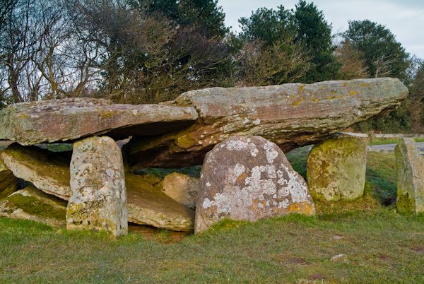 Cromlech (Site of)Megalithic structure · 920 yd
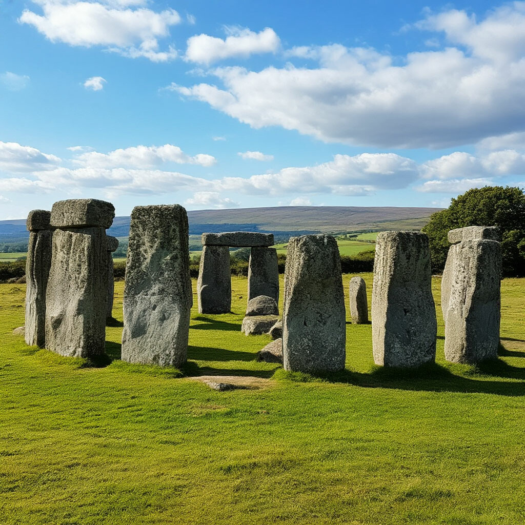 CromlechsMegalithic structure · 1281 yd
 Kilquan Church (in ruins)Church · 1412 yd
 CarrigfenoaghMountain / peak · 1519 yd
 Tower HillMountain / peak · 1.4 mi
 Tower Hill WoodWood · 1.5 mi
 CastleCastle, Anglo-Norman masonry castle · 2.0 mi
 Ormonde CastleHeritage attraction · 2.0 mi
 Tiberaghney CastleCastle, tower house · 2.1 mi
 Sitka SpruceSitka Spruce · 2.4 mi
 Portlaw Heritage CentreMuseum · 3.5 mi