
What is recorded here
Detached L-plan two-bay two-storey house, built c. 1890, with single-bay single-storey lean-to blocks to rear (west). Now disused. Pitched slate roofs with rendered chimneystacks, timber bargeboards and cast-iron rainwater goods. Rendered walls with red brick quoins. Camber-headed openings with replacement uPVC windows and red brick block-and-start surrounds. Rubble stone boundary wall with render copings. T-plan three-bay single-storey derelict house to north.
Tall regular form articulated by red brick surrounds, which enliven façade. Enhanced by boundary walls and forms a pair with nearby structure of almost identical form and detailing. Once served as an officer's house, it contributes to the history of the island.
This does not grant access. Most recorded buildings are privately owned; view them only from public ground unless the owner allows entry.
Places near here
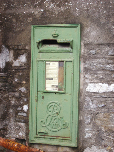 post boxpost box · 99 yd
 officer's houseofficer's house · 107 yd
 HaulbowlineIslet · 152 yd
 Ordnance Ground, Admiralty PropertyBastioned fort · 291 yd
 Martello TowerMartello tower · 332 yd
 Rocky IslandIslet · 426 yd
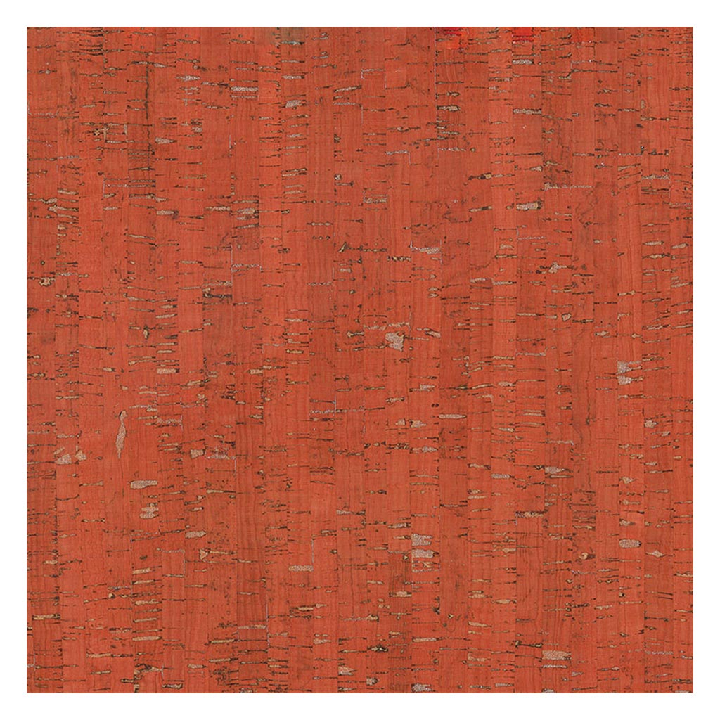 Cork Red Marble SeamNamed rock · 438 yd
 Cobh Heritage CentreMuseum · 1007 yd
 Heritage CentreMuseum · 1025 yd
 Scots ChurchMemorial · 1065 yd
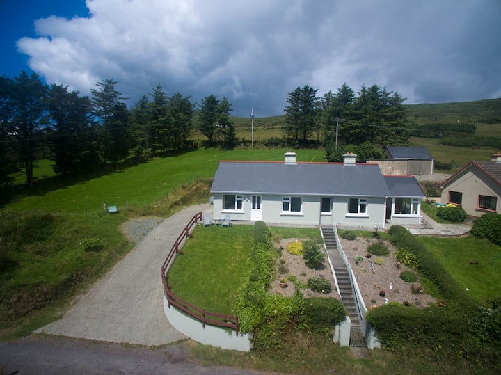 Carrig HouseMemorial · 1086 yd
 Cobh Tourist OfficeVisitor information · 1332 yd
Other information
Photo: National Inventory of Architectural Heritage · Website use allowed for educational or private purposes with source credit