What is recorded here
Scotland's National Record of the Historic Environment records Obstruction as Obstruction (period Unassigned). The official map says its point is accurate as follows: NGR given to the nearest 1m. The record does not by itself mean that the public may enter the place.
The historic-place record does not grant public access. Check current conditions and ownership before entering land or a building.
Places near here
 MODERN CHURCH on PRE-NORMAN SITE: STAGHREEL in Tyrella SouthMODERN CHURCH on PRE-NORMAN SITE: STAGHREEL · 1.2 mi
 Tyrella Parish ChurchChurch · 1.2 mi
 Murlough HouseHouse · 1.6 mi
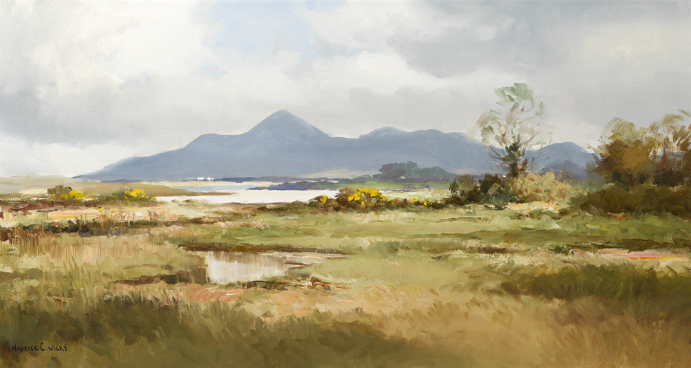 ENCLOSURE, poss. BARROW with MULTIPLE CIST BURIALS: LISNASHIMMER in Ballykinler UpperENCLOSURE, poss. BARROW with MULTIPLE CIST BURIALS: LISNASHIMMER · 1.8 mi
 FORTIFICATION: MACCOURTNEY'S CASTLE in Ballykinler UpperFORTIFICATION: MACCOURTNEY'S CASTLE · 1.9 mi
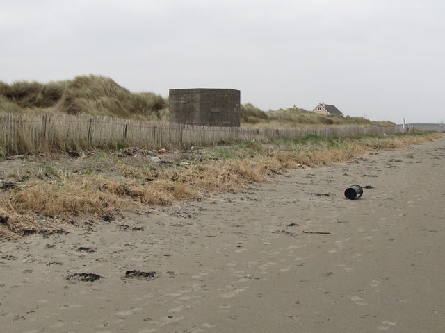 Tyrella BeachBeach / strand · 2.2 mi
 Murlough National Nature ReserveNature reserve · 2.3 mi
 Mourne Coastal Route: Dundrum Main StreetVisitor information · 2.3 mi
 Murlough South End Nature Trail, MurloughWalking route · 2.5 mi
 DUNDRUM CASTLE in DundrumDUNDRUM CASTLE · 2.5 mi
 Castle PathWalking route · 2.6 mi
 Dundrum CastleHeritage attraction · 2.6 mi