What is recorded here
No one knows who OBoughalla was or when they died. The grave itself has vanished entirely, leaving no marker, mound or trace behind. What remains is only the name, floating free of the body it once pointed to.
According to de Velara and Ó Nuallain (1982, 49) "not described in the documents of the original (OS) survey and the Name Book of the 1900 revision records its total destruction. The nature of the feature is unknown". No visible surface trace.
The above description is derived from the published 'Archaeological Inventory of County Cork. Volume 1: West Cork' (Dublin: Stationery Office, 1992). In certain instances the entries have been revised and updated in the light of recent research.
Date of upload/revision: 14 January 2009
The monument record does not grant public access. Check the route and ask the landowner before entering private land.
- What survives
- Recorded monument
Places near here
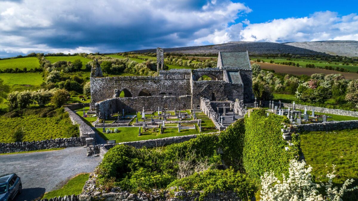 Man-made underground passage in Cappeen EastMan-made underground passage · 31 yd
 OBoughallas BedWedge tomb · 389 yd
 monumentmonument · 1.3 mi
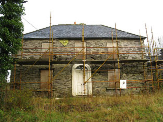 Tower Viewhouse · 1.8 mi
 Castle RockNamed rock · 2.6 mi
 Green HillMountain / peak · 2.6 mi
 OCrowleys Castle (in Ruins)Castle, tower house · 3.8 mi
 Kilmichael Ambush SiteMonument · 4.2 mi
 Kilmichael Ambushambush · 4.2 mi
 Summerhouse WoodForest · 4.4 mi
 Irish National Forestry FoundationNature reserve · 4.5 mi
 Kilmurry WoodsPicnic place · 4.8 mi