What is recorded here
Map note: There is a map point for Oberon, a steamship in Argyll and Bute, Scotland. See the mapped spot and the places around it.
Ussa) as Steamship (period Unassigned).
Places near here
Photo credits
- Maker not stated on source page, www.alamy.com
- Paul Biggin, Wikimedia Commons · CC BY-SA 2.0
- Maker not stated on source page, www.gettyimages.co.nz
- Helmut Zozmann, Wikimedia Commons · CC BY-SA 2.0
- Eileen Henderson, Wikimedia Commons · CC BY-SA 2.0
- Craig Wallace, Wikimedia Commons · CC BY-SA 2.0
- Maker not stated on source page, br.pinterest.com
- Maker not stated on source page, www.pinterest.com
- Maker not stated on source page, www.atlasobscura.com
- Rude Health, Wikimedia Commons · CC BY-SA 2.0
- Andy MacArthur, Wikimedia Commons · CC BY-SA 2.0
- Eirian Evans, Wikimedia Commons · CC BY-SA 2.0
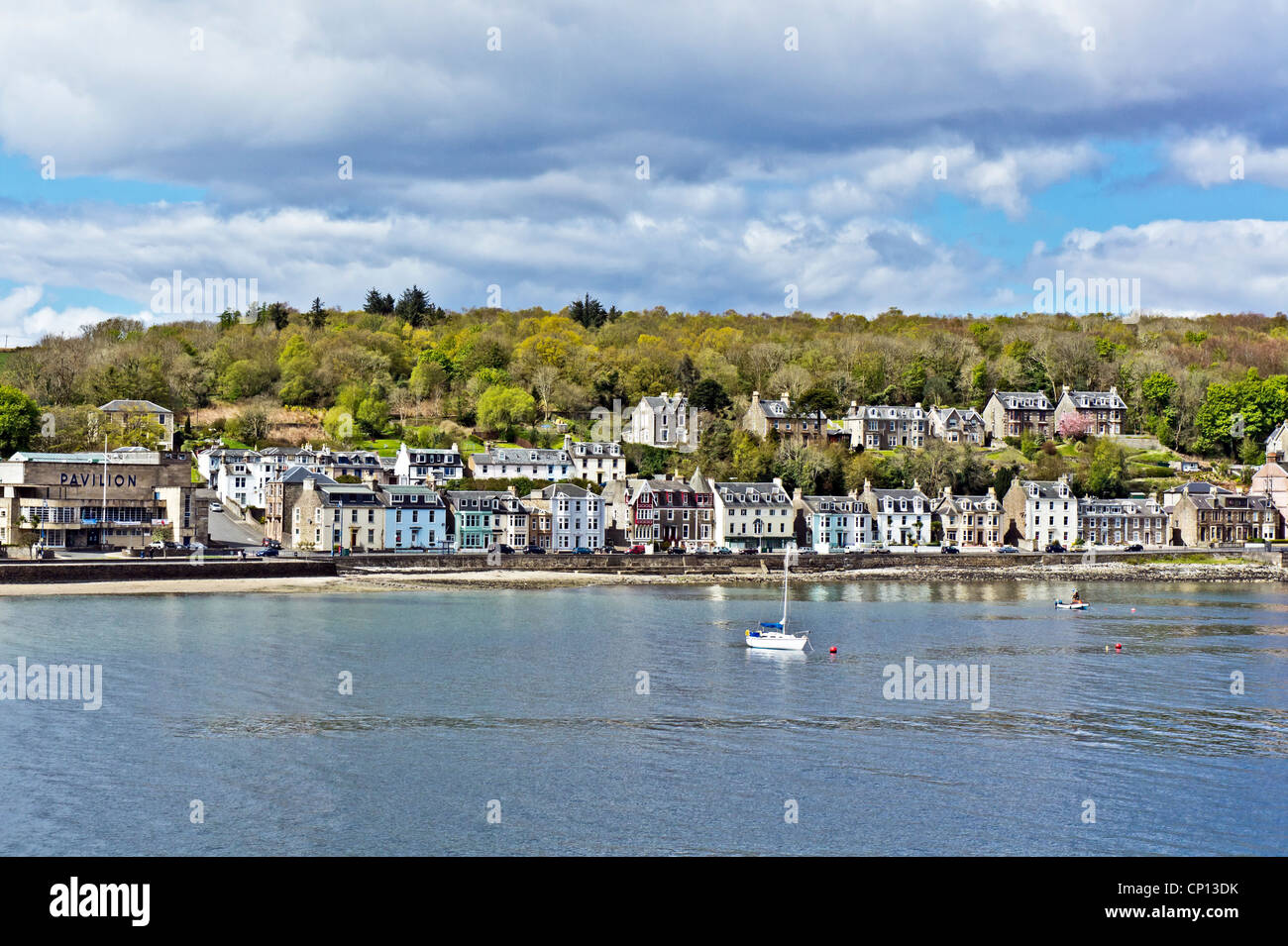 Speculator: Insh Island, Firth of LornSmack (20th Century) · 1417 yd
 Insh IslandBuilding · 1500 yd
 Florence Graham: Insh Island, Firth of LornBarque (19th Century) · 1.2 mi
 Seil, ArdencapleEnclosure (possible) · 2.0 mi
 Seil, Ardencaple HouseCountry House (18th Century) · 2.3 mi
 Meall a' ChàiseMountain / peak · 2.4 mi
 Seil, Ardfad CastleCastle (medieval) · 2.6 mi
Explorer Tom Seil, Ardfad Castle is a medieval castle that's playing hard to get on the map. Give it a wave from afar for old Tom.
 Old CastleArchaeological place · 2.6 mi
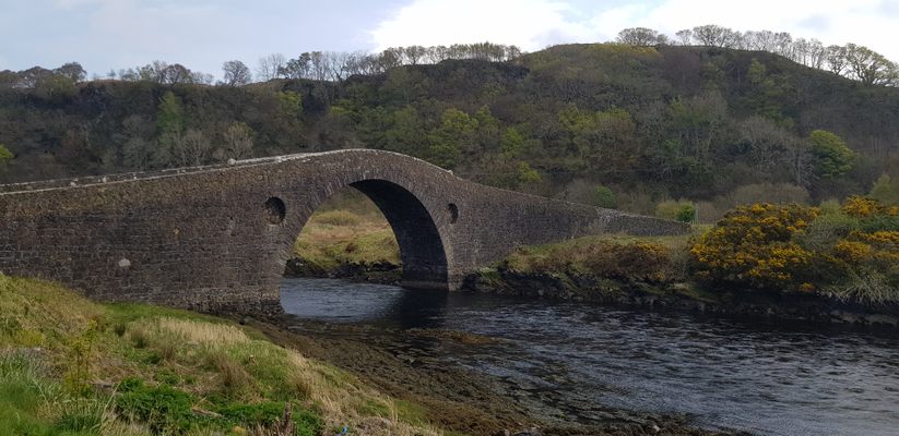 Seil, Clachan BridgeBurial Cairn (prehistoric) · 3.2 mi
Explorer Tom Seil, Clachan Bridge has a prehistoric burial cairn that's probably just a pile of rocks now. Don't get too attached to…
 Maol BànMountain / peak · 3.4 mi
 Sgeir a' GhanraidhIsland · 4.9 mi
 Loch SpelveBay · 5.0 mi
More wrecks and historic events in Argyll and Bute · All of Argyll and Bute

What do you know about this place?Tap to add a comment or ask a question