What is recorded here
No wonder the gatehouse stands guard. The Hospitallers needed a defensible position on the Barrow road, not a delicate retreat for praying women. The loop holes in the ruined wall admit this much. They pierce stone like rifle fire frozen mid-flight. Nuns may have arrived later, taking shelter inside the military skeleton. Strength first, devotion second. The wall still agrees with that order.
In level mixed tillage and pasture at the W edge of a farmyard some 700m E of the S-flowing River Barrow. A church (KD030-006----) and graveyard (KD030-006001-) lie c. 40m to the NE and a ruined gatehouse (KD030-007001-) and possible bawn (KD030-007002-) stand c. 50m to the ESE. In 1837, according to O’Conor who co-compiled the OSL for County Kildare (Herity 2002, 70 [206]), ‘There was formerly a Nunnery in Kilberry, four portions of the walls of which still remain. The site of the wall (& fosse) that ‘fenced’ (enclosed) this nunnery is as yet pointed out in the field where its ruins are, and in a grave yard [KD030-006001-] adjacent, within the same field, stand the ruined walls of the “Cathedral” (church) [KD030-006----] of the nunnery.’ However, Gwynn and Hadcock (1970, 365-6) maintain that, ‘… the site seems unsuitable for nuns, as other towers and castles in the vicinity suggest that it was on a main defensive line. … one of the military orders, possibly hospitallers, seems more probable, in which case sisters may have been attached, explaining the tradition of nuns being there.’ A very poorly preserved rectangular structure (traceable L 22m NW-SE; traceable Wth 9.1m) is defined by the ivy-clad remains of a SE gable wall and gapped SW sidewall (av. T 1.2m) built of rubble masonry. A robbed out, apparently flat-headed window survives near the N end of the gable wall, and the central portion of the sidewall contains two adjoining robbed out loops.
Compiled by: Gearóid Conroy
Date of upload: 30 September 2013
The monument record does not grant public access. Check the route and ask the landowner before entering private land.
- What survives
- Recorded monument
Places near here
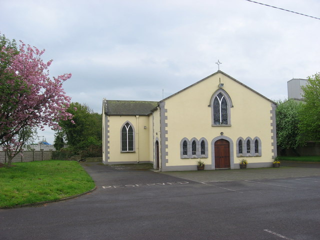 St. Bairys Church (in Ruins)Church · 78 yd
 IndicatedBawn · 79 yd
 Kilberry Churchchurch/chapel · 731 yd
 Reban CastleCastle, Anglo-Norman masonry castle · 831 yd
 Enclosure in Castlereban NorthEnclosure · 1700 yd
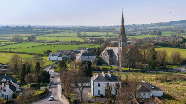 Enclosure in Castlereban SouthEnclosure · 1.2 mi
 Derryvullagh IslandForest · 2.3 mi
 Brackney WoodForest · 3.1 mi
 1798 memorialMemorial · 3.4 mi
 Ernest ShackletonMemorial · 3.4 mi
 Town HallMuseum · 3.5 mi
 Cobbler's Castle WalkWalking route · 4.4 mi