
What is recorded here
A band of light brushwood, roundwoods (diam. 0.07-0.1m) and twigs (Wth 1.5m; D 0.32m) orientated N-S in opposing drain faces. It is not possible to determine if all of the wood is archaeologically significant. The elements are slightly spaced apart with a small number of pieces lying at a greater distance from the main, central group. The wood is in poor condition and one piece has been identified as birch. The site sits in moderately humified fen peat. Radiocarbon dated to 3501-3099 cal. BC (UCD 0216).
SMR OF010-475---- is 1m above this site. Recorded by the Irish Archaeological Wetland Unit (University College, Dublin) in 2001.
The original survey description was compiled by the Irish Archaeological Wetland Unit (University College, Dublin). Assessed and revised by: Caimin O'Brien, Paul Walsh, Re-assessed and revised by: Margaret Keane
Date of upload: 23 May 2011
The monument record does not grant public access. Check the route and ask the landowner before entering private land.
- What survives
- Recorded monument
Places near here
 StructureStructure, peatland · 54 yd
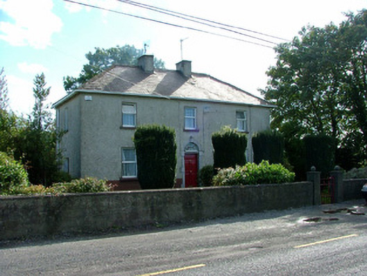 steward's housesteward's house · 1156 yd
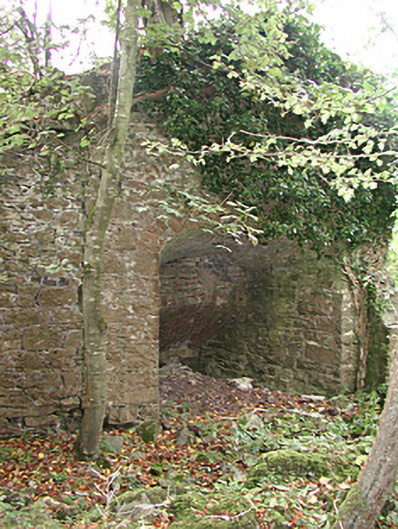 Mount Briscoekiln · 1181 yd
 Burial Gd. (Disused)Church · 1.1 mi
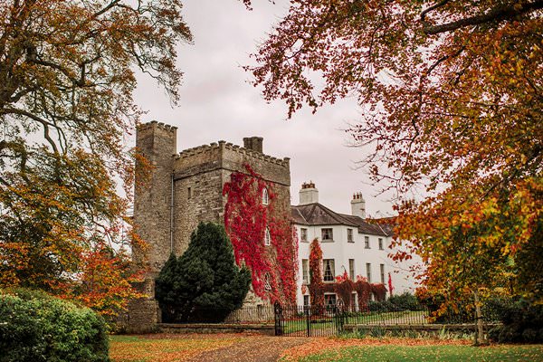 Castle Barnagh (Site of)Bawn · 1.7 mi
 Mountlucas Wind Farm Visitors CentreVisitor information · 2.1 mi
 Site of Lady Mary Warrens CastleCastle, unclassified · 2.2 mi
 Victoria PlantationWood · 2.5 mi
 Holy PlantationForest · 2.7 mi
 Croghan Hill WalkVisitor information · 2.9 mi
 Finnrenashark Holy WellSpring · 3.0 mi
 Croghan HillMountain / peak · 3.2 mi
Other information
Photo: Credit not shown in the picture search · Rights wording not checked; contact us if this picture should be removed