What is recorded here
This is the record for a test excavation were carried out by Laurence Dunne (03E1662) 'at Rathnaneane, Newcastle West, in advance of the construction of 102 two-storey dwellings, as part of an impact assessment due to the proximity of a ringfort (SMR 36:74) to the development site. Six test-trenches were excavated, which extended radially from the location of the ringfort. They measured 20m by 2m. No evidence of the ringfort ditch was uncovered, but a shallow linear pit was recorded in one of the trenches. It measured 3.8m by 1.1m by 0.11m deep. The fill consisted of orange/brown silty clay with 15% charcoal lumps. It contained occasional flecks of burnt bone, occasional unburnt bone and animal teeth and occasional burnt clay. The cut was subrectangular in plan, with rounded corners. It may have been associated with the nearby ringfort.' The above description is posted on the web at the following internet address: http://www.excavations.ie/ (accessed 23 August 2012).
Compiled by: Denis Power
Date of upload: 23 August 2012
The monument record does not grant public access. Check the route and ask the landowner before entering private land.
- What survives
- Recorded monument
Places near here
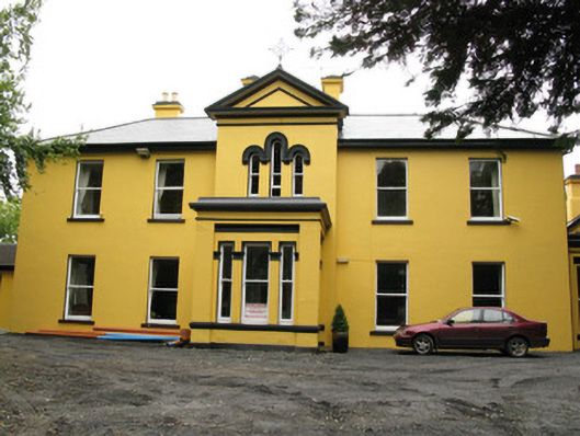 Beechwood Housepresbytery/parochial/curate's house · 476 yd
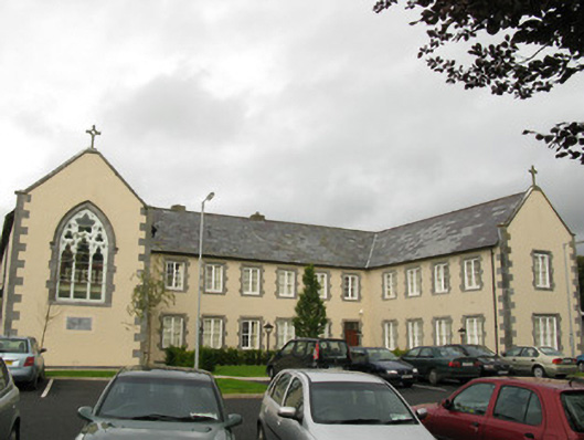 Saint Catherine'sconvent/nunnery, church/chapel · 579 yd
 Enclosure in KillelineEnclosure · 798 yd
 Templars Castle (in ruins)Castle, Anglo-Norman masonry castle · 874 yd
 EnclosureEnclosure, large enclosure · 1550 yd
 Castle MahonCastle · 2.5 mi
 Limerick GreenwayWalking route · 3.8 mi
 Saint Ite's WellSpring · 4.3 mi
 St. Luke's WellSpring · 4.6 mi
 Sugar HillMountain / peak · 4.8 mi
 European ashEuropean ash · 5.0 mi
 Ballagh MountainMountain / peak · 5.5 mi