What is recorded here
Not shown is a lost excavation in County Limerick, Ireland. It is not a visible building, clear landmark or well-known place. What is missing is the identity of the place being asked about.
On a gentle SSW-facing slope, in pasture, on the N side of Schoolhouse Road, Castletroy. Not depicted on OS historic mapping. Identified by Flor Hurley in 2003 during monitoring (License No. 03E1382) for a housing scheme known as Glantan and excavated (License No. 03E1717) by Niamh O’Callaghan later in 2003. Situated c. 15m to SW of flat cemetery (F85-F88) (LI005-088002-). A total of 9 features were excavated (F75-79 and F92-93) including a large irregular-shaped feature (2.45m N-S; 2.13m E-W) containing burnt stone and charcoal and a large teardrop-shaped feature containing charcoal and fragments of burnt bone. There were also two circular-shaped and three roughly oval-shaped pits containing charcoal and two spreads one of which contained charcoal (Hurley 2003, 9-10).
See attached plan extract from monitoring report (Hurley 2003).
Compiled by: Alison McQueen and Vera Rahilly
Date of upload: 30 June 2020
The monument record does not grant public access. Check the route and ask the landowner before entering private land.
- What survives
- Recorded monument
Places near here
 Not shownFulacht fia · 267 yd
 Mary Magdalenes WellHoly well · 567 yd
 Ballysimon MillsWater mill, vertical-wheeled · 843 yd
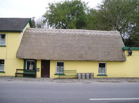 Ó Séaghdhahouse · 1106 yd
 New CastleCastle · 1491 yd
 University of Limerick FlagpostsHeritage attraction · 1.0 mi
 Campus MapVisitor information · 1.2 mi
 Visitor CentreVisitor information · 1.2 mi
 Fountain SculptureHeritage attraction · 1.3 mi
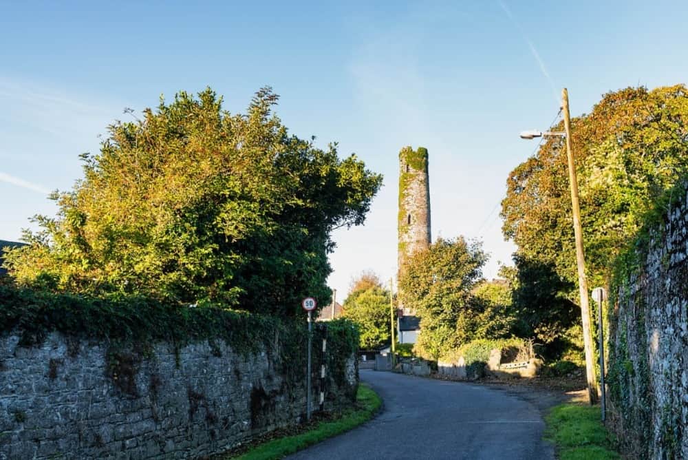 Round Tower (Site of)Castle, tower house · 1.7 mi
 Jackie PowerMemorial · 1.7 mi
 St. Patrick's WellSpring · 1.7 mi