What is recorded here
On gentle W-facing slope, in low-lying pasture, c. 200m NE of the Groody River. Not depicted on OS historic mapping. Identified by Avril Hayes in 2002 during testing and monitoring (Licence No. 02E1787) in Fields 2 and 3 in advance of a residential development including private houses, student accommodation and support facilities (Hayes 2003, 4). In Field 2 this uncovered four pits and two sections of a ditch (LI005-085002-). In Field 3 a number of cremations and one bowl furnace were revealed. Fragments of pottery were also recovered from the excavation.
See attached plan extract from testing report (Hayes 2003).
Compiled by: Alison McQueen and Vera Rahilly
Date of upload: 30 June 2020
The monument record does not grant public access. Check the route and ask the landowner before entering private land.
- What survives
- Recorded monument
Places near here
 Mary Magdalenes WellHoly well · 251 yd
 Not shownFulacht fia · 787 yd
 Ballysimon MillsWater mill, vertical-wheeled · 919 yd
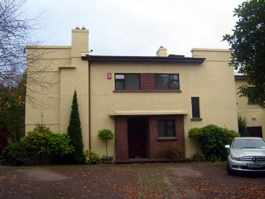 Cooltarahouse · 1120 yd
 New CastleCastle · 1156 yd
 University of Limerick FlagpostsHeritage attraction · 1507 yd
 Campus MapVisitor information · 1.1 mi
 Visitor CentreVisitor information · 1.1 mi
 Fountain SculptureHeritage attraction · 1.2 mi
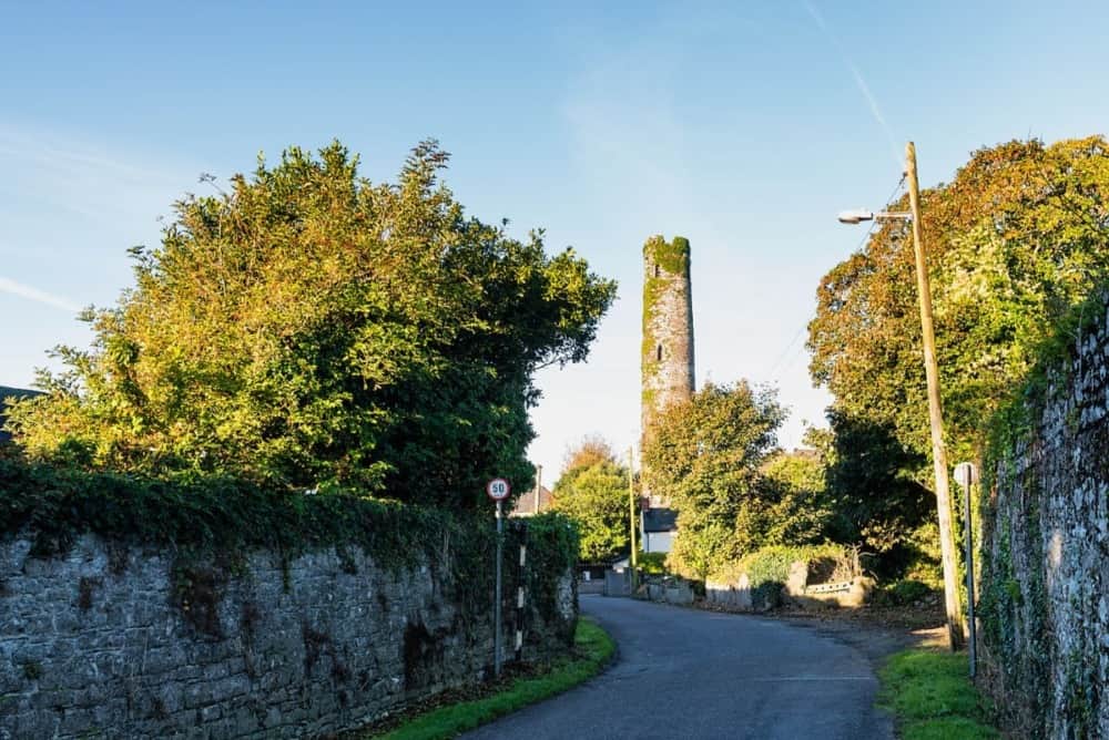 Round Tower (Site of)Castle, tower house · 1.3 mi
 St. Patrick's WellSpring · 1.4 mi
 Lough Derg WayWalking route · 1.6 mi