What is recorded here
Not shown remains a mysterious absence rather than a visible place.
In pasture, on a gentle SW-facing slope, c. 95m to E of Groody Road and c. 140m to E of the Groody River. Mary Magdalene’s Well (LI005-034001-) and a burial ground (LI005-034002-) are located c. 66m to SW. Not depicted on OS historic mapping. Discovered during archaeological monitoring (License No. 02E1615) and excavated by Tracy Collins (License No. 02E1710) (Collins 2002a and 2002b). A keyhole-shaped feature, consisting of a subcircular-shaped pit (L 1.4m; max. Wth 0.8m; D 0.4m) filled with a deep black deposit mixed with boulder clay and having an oily texture (Collins 2002b). There were small amounts of charcoal inclusions and some organic material and the edge of the pit showed evidence of burning (ibid). A linear flue (L0.8m; Wth 0.2m; D 0.25m) projected from the pit to the SW and was filled with a mix of redeposited boulder clay, some stones and flecks of charcoal; Its edges had some evidence of heat exposure (ibid). This feature is likely to have had an industrial function. Area now developed for student accommodation as visible on Google Earth orthoimage taken 26/05/2004 and Digital Globe orthophotos taken 2011-13.
See attached Google Earth orthoimage.
Compiled by: Alison McQueen and Vera Rahilly
Date of upload: 22 June 2020
The monument record does not grant public access. Check the route and ask the landowner before entering private land.
- What survives
- Recorded monument
Places near here
 Mary Magdalenes WellHoly well · 79 yd
 Ballysimon MillsWater mill, vertical-wheeled · 732 yd
 Not shownFulacht fia · 773 yd
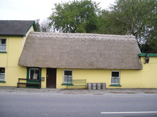 Ó Séaghdhahouse · 1038 yd
 New CastleCastle · 1343 yd
 University of Limerick FlagpostsHeritage attraction · 1694 yd
 Campus MapVisitor information · 1.2 mi
 Visitor CentreVisitor information · 1.2 mi
 Fountain SculptureHeritage attraction · 1.3 mi
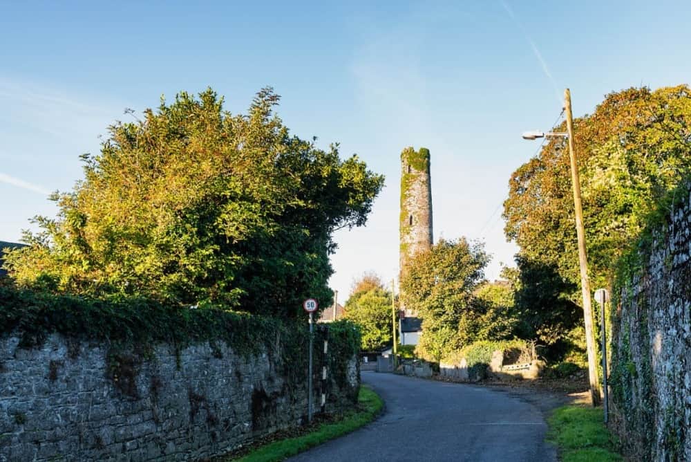 Round Tower (Site of)Castle, tower house · 1.4 mi
 St. Patrick's WellSpring · 1.4 mi
 Lough Derg WayWalking route · 1.7 mi