What is recorded here
On gentle W-facing slope, in low-lying pasture, c. 200m NE of the Groody River. Not depicted on OS historic mapping. Identified by Avril Hayes in 2002 during testing (Licence No. 02E1787) in Field 2 in advance of a residential development including private houses, student accommodation and support facilities (Hayes 2003, 4). This uncovered two sections of a ditch, having a U-shaped cut as well as four pits (LI005-085003-). Subsequent monitoring of topsoil stripping carried out by Avril Hayes in Field 2 uncovered the remainder of the ditch that had been identified during testing. It was a circular-shaped ditch (int. diam. 40m) and enclosed a circular-shaped feature (diam. 5m) in the SW quadrant. This levelled monument was further tested and then excavated by Avril Purcell in 2004 when it was recorded as a subtriangular-shaped, double-ditched enclosure (Purcell 2004, 2). The structure within is of probable Bronze Age in date and possible cremation and burial pits are thought to be contemporary (Purcell 2004, 11). Stratigraphic evidence shows that one of the pits predates the enclosure and two sherds of Beaker pottery also suggest earlier activity in the area (ibid).
See attached plan extract from testing report (Hayes 2003), testing report (Purcell 2004) and excavation report (Purcell 2004).
Compiled by: Alison McQueen and Vera Rahilly
Date of upload: 30 June 2020
The monument record does not grant public access. Check the route and ask the landowner before entering private land.
- What survives
- Recorded monument
Places near here
 Mary Magdalenes WellHoly well · 216 yd
 Not shownFulacht fia · 814 yd
 Ballysimon MillsWater mill, vertical-wheeled · 892 yd
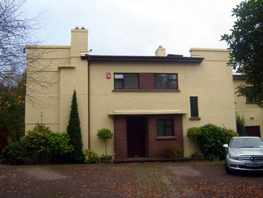 Cooltarahouse · 1157 yd
 New CastleCastle · 1183 yd
 University of Limerick FlagpostsHeritage attraction · 1534 yd
 Campus MapVisitor information · 1.1 mi
 Visitor CentreVisitor information · 1.1 mi
 Fountain SculptureHeritage attraction · 1.2 mi
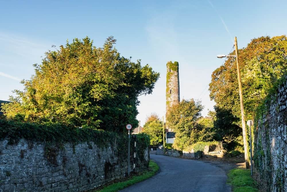 Round Tower (Site of)Castle, tower house · 1.3 mi
 St. Patrick's WellSpring · 1.4 mi
 Lough Derg WayWalking route · 1.6 mi