What is recorded here
On gentle W-facing slope, in low-lying pasture, c. 200m NE of the Groody River. Not depicted on OS historic mapping. Identified within the interior of enclosure (LI005-085002-) by Avril Hayes in 2002 during testing (Licence No. 02E1787) in Field 2 in advance of a residential development including private houses, student accommodation and support facilities (Hayes 2003, 4). This uncovered a circular-shaped cremation pit (diam. 5m) which was then excavated (Licence No. 04E1454) by Avril Purcell in 2004 (Purcell 2004).
See attached plan extract from excavation report (Purcell 2004).
Compiled by: Alison McQueen and Vera Rahilly
Date of upload: 30 June 2020
The monument record does not grant public access. Check the route and ask the landowner before entering private land.
- What survives
- Recorded monument
Places near here
 Mary Magdalenes WellHoly well · 216 yd
 Not shownFulacht fia · 814 yd
 Ballysimon MillsWater mill, vertical-wheeled · 892 yd
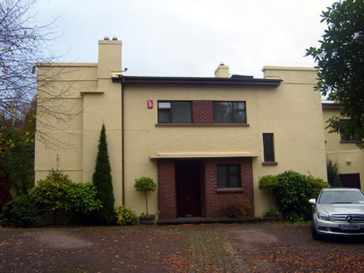 Cooltarahouse · 1157 yd
 New CastleCastle · 1183 yd
 University of Limerick FlagpostsHeritage attraction · 1534 yd
 Campus MapVisitor information · 1.1 mi
 Visitor CentreVisitor information · 1.1 mi
 Fountain SculptureHeritage attraction · 1.2 mi
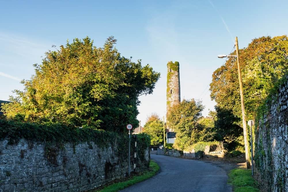 Round Tower (Site of)Castle, tower house · 1.3 mi
 St. Patrick's WellSpring · 1.4 mi
 Lough Derg WayWalking route · 1.6 mi