What is recorded here
In well-drained, gently undulating pasture. Carrigogunnel Castle (LI004-015----) is perched on a volcanic rock outcrop c. 30m to SW. Not depicted on OS historic mapping. Identified as a dense area of archaeological features discovered during archaeological testing (Licence No. 04E1476) (Collins 2004, 15-25). Six trenches (L 10-20m; Wth 1.5m) were excavated across the site which exposed a series of archaeological cuts and deposits including linear features, post-holes, areas of burning, as well as three possible ironworking kilns (ibid). Finds included iron slag, charcoal and animal bone (ibid). The concentrations of burning, along with slag, and the furnace bottom suggests that metalworking was taking place on the site. Some of the larger linear features may represent ditches of subsurface enclosures on the level land at the base of the Castle rock. Given the density of features identified, it is likely that at least some of them are contemporary with the period of occupation of the castle (i.e. medieval) (ibid).
See attached Google Earth orthoimage 19/11/2019.
Compiled by: Alison McQueen and Vera Rahilly
Date of upload: 22 June 2020
The monument record does not grant public access. Check the route and ask the landowner before entering private land.
- What survives
- Recorded monument
Places near here
 Carrigogunnell CastleRuins · 130 yd
 Saint Joseph's Catholic Churchchurch/chapel · 774 yd
 St James's WellSpring · 832 yd
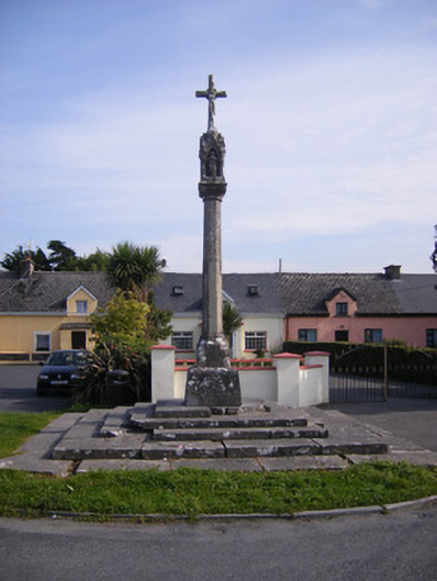 Monsell Monumentmonument · 915 yd
 Grave YardGraveyard · 1042 yd
 Killeen Grave YardBurial ground · 1249 yd
 Sailors HaggardMemorial · 1.1 mi
 Meelick Ho.House, fortified house · 1.3 mi
 Muckinish PointHeadland · 1.9 mi
 Coonagh NatureNature reserve · 2.0 mi
 Grass IslandIslet · 3.3 mi
 Maiden RockNamed rock · 3.6 mi