What is recorded here
Identified by Ken Wiggings as BGE 4/2/1 during archaeological monitoring (License 02E1649) along the Bord Gáis Éireann, Barnakyle to Coonagh West gas pipeline (Wiggins 2004, 310). Excavated under licence no. 02E1732 (Wiggins 2002), the results were summarised as following; ‘initially identified as two circular patches of charcoal-rich soil. Eventually, a group of four cremation pits was excavated. The overall dimensions of the site were 3.7m (north–south) by 1.6m. Of the cremation pits, F1 was 0.41m long, 0.38m wide and 0.18m deep; F2 was 0.38m in diameter and 0.36m deep; F3 was 0.54m long, 0.45m wide and 0.15m deep; and F4 was 0.45m long, 0.43m wide and 0.1m deep. The features were filled with charcoal-rich soil containing fragments of cremated bone.’ (www.excavations.ie 2002; 1134, 2003; 1139).
Compiled by: Martin Fitzpatrick
Date upload: 30 June 2020
The monument record does not grant public access. Check the route and ask the landowner before entering private land.
- What survives
- Recorded monument
Places near here
 Not shownFulacht fia · 284 yd
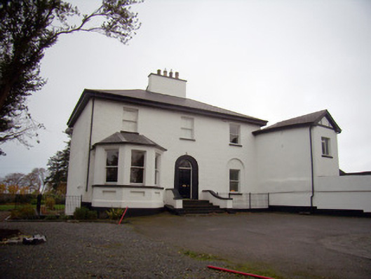 Mount Mungretrectory/glebe/vicarage/curate's house · 629 yd
 Enclosure in Island-DuaneEnclosure · 872 yd
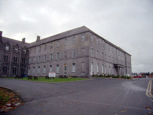 Mungret Collegecollege, stables · 916 yd
 St James's WellSpring · 2.2 mi
 Castle FieldCastle, unclassified · 2.2 mi
 Carrigogunnell CastleRuins · 2.4 mi
 Sailors HaggardMemorial · 3.1 mi
 Grass IslandIslet · 5.7 mi
 Maiden RockNamed rock · 6.0 mi
 Mellon PointHeadland · 6.7 mi
 Bunratty Castlehouse · 6.9 mi