What is recorded here
On a ridge above marshy ground 50m S of the Groody River. An archaeological excavation discovered a previously unrecorded kiln site 5m E of a contemporary hut site (LI005-101----), these features were identified outside and 10-15m E of an earthen Ringwork Castle (LI005-080----) in advance of the construction of the Limerick Southern Ring Road (Bermingham et al. 2013; Collins & Cummins 2001). The stone lined base of a keyhole-shaped corn-drying kiln was recorded (dims. 4.7m L x 2.1m W). It was orientated N-S, with a bowl or drying chamber at the N of the kiln and a fire–pit at the S of the flue. The top of the flue and kiln were removed by later activity. A shallow pit filled with charcoal-rich clay was identified 0.7m to the S of the kiln where a sherd of early Anglo-Norman pottery was recovered.
Compiled by: Edmond O’Donovan
Date of upload: 15 July 2020
The monument record does not grant public access. Check the route and ask the landowner before entering private land.
- What survives
- Recorded monument
Places near here
 Ballysimon WellHoly well · 143 yd
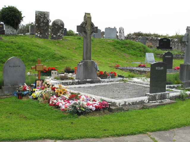 Grave YardGraveyard · 233 yd
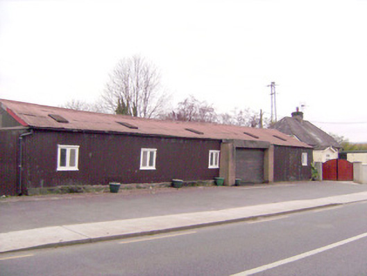 ballroom/dance hall/discoballroom/dance hall/disco · 278 yd
 MillWater mill, unclassified · 286 yd
 Tooreen Castle (in ruins)Castle, tower house · 1.3 mi
 New CastleCastle · 1.5 mi
 University of Limerick FlagpostsHeritage attraction · 1.7 mi
 Campus MapVisitor information · 1.9 mi
 Visitor CentreVisitor information · 1.9 mi
 Fountain SculptureHeritage attraction · 1.9 mi
 Jackie PowerMemorial · 2.0 mi
 St. Patrick's WellSpring · 2.0 mi