What is recorded here
One of a group of six fulachtaí fia (LI013-229-/230/231/232/233/234----). Identified as fulacht fia 3 (Site C) by Noel Dunne during archaeological monitoring of a dual carriageway constructed as part of the Dell Factory Development, County Limerick. Excavated under license 98E0433 by Dunne (2000, 159), the results of which were summarised as following; ‘ three separate burnt spreads measuring 11m x 4.5m, 10m x 3m and 5.5m x 4m. Two large pits were connected with one of the spreads, one of which is likely to be modern’ (www.excavations.ie 1999, No. 483).
See attached location map taken from excavation report
Compiled by: Martin Fitzpatrick
Date upload: 2 July 2020
The monument record does not grant public access. Check the route and ask the landowner before entering private land.
- What survives
- Recorded monument
Places near here
 Not shown.Excavation, miscellaneous · 359 yd
 RoadRoad, road/trackway · 426 yd
 ExcavationExcavation, miscellaneous · 428 yd
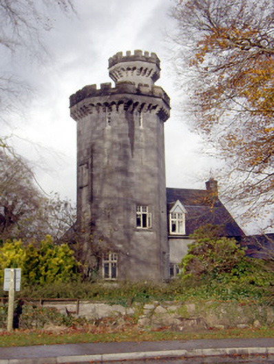 Roche Castlehouse · 656 yd
 Castle FieldCastle, unclassified · 1.5 mi
 CastleCastle, unclassified · 1.8 mi
 Sailors HaggardMemorial · 4.1 mi
 Fountain SculptureHeritage attraction · 5.4 mi
 Visitor CentreVisitor information · 5.4 mi
 Campus MapVisitor information · 5.5 mi
 Grass IslandIslet · 6.8 mi
 Maiden RockNamed rock · 7.0 mi