What is recorded here
In the twelfth century Tallaght formed part of the See lands of the Archbishop of Dublin and is listed among the lands confirmed to Archbishop Laurence O'Toole by Pope Alexander III in 1179 (Sheehy 1962, I, 27). The archbishops founded a borough here and an extent of 1326 mentions that there were then 15 burgesses rendering 15 shillings per annum (Mc Neill 1950, 181). Apart from the burgesses there were also free tenants, eighteen cottiers and four betaghs residing at Tallaght. It was one of the most important ecclesiastical manors in County Dublin throughout the Middle Ages. By the Sixteenth century it was the Archbishop's principal residence outside the city (Handcock 1899, 11). The street pattern of the medieval borough was linear and appears to have consisted simply of main street which expanded at its west end to form the market place, where the road forked N past St Mael Ruains church and south towards Oldbawn. The archbishop's palace lay on the N side of the road and the long plots on the S side are probably the remains of the medieval burgage plot pattern.
Compiled by Geraldine Stout
Date of upload: 25th April 2012
The monument record does not grant public access. Check the route and ask the landowner before entering private land.
- What survives
- Recorded monument
Places near here
 Ecclesiastical enclosure in TallaghtEcclesiastical enclosure · 1 yd
 Saint Maelruain's Church (Tallaght)church/chapel · 46 yd
 Font in TallaghtFont · 47 yd
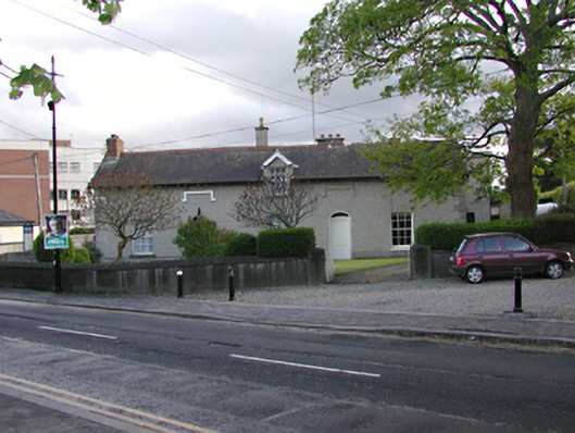 presbytery/parochial/curate's housepresbytery/parochial/curate's house · 63 yd
 CastleCastle, unclassified · 275 yd
 Bancrofts CastleCastle, tower house · 550 yd
 tallaght crossVisitor information · 741 yd
 Main ReceptionVisitor information · 971 yd
 SpringfieldNamed rock · 1149 yd
 Gary Miller MemorialMemorial · 1349 yd
 Waterfall viewing pointHeritage attraction · 1664 yd
 Belgard RoadMemorial · 1.1 mi