What is recorded here
Situated at the crest of a S-facing slope with a WNW-ESE section of the River Boyne c. 250m to the S. A church may have been founded by St Patrick at what later became St Patrck’s parish church (ME036-048012-) in Trim. There is no physical evidence of this but a section recorded in archaeological monitoring (96E0175) cut through what was probably an E-W fosse or ditch (Wth c. 5m; D 1.1m) under Loman St just W of the graveyard (ME036-048051-). It had two clay fills but produced no artefacts (Meenan 1996, 6; 1997), and raises the tantalizing possibility that it is an a-ceramic and pre Anglo-Norman feature.
Compiled by: Michael Moore
Date of upload: 16 February, 2015
The monument record does not grant public access. Check the route and ask the landowner before entering private land.
- What survives
- Recorded monument
Places near here
 Cross in Townparks NorthCross · 29 yd
 Saint Patrick's Cathedral (Trim)cathedral · 41 yd
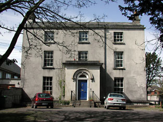 The Old Rectoryrectory/glebe/vicarage/curate's house · 78 yd
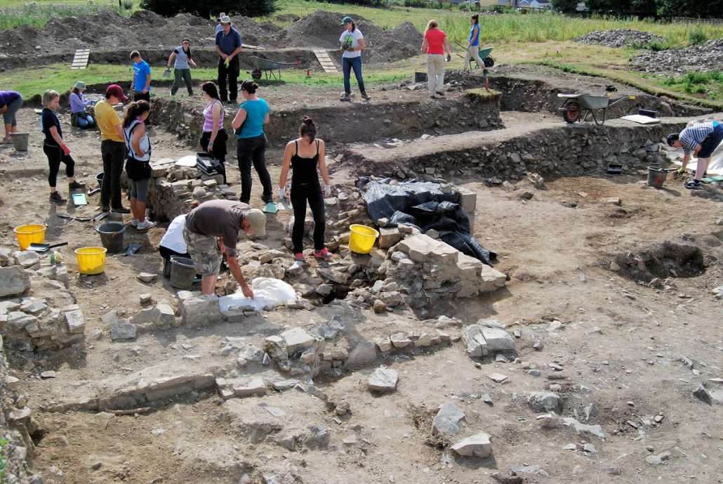 The Blackfriary Community Heritage and Archaeology ProjectArchaeological place · 239 yd
 CastleCastle, hall-house · 455 yd
 Trim CastleCastle, Anglo-Norman masonry castle · 528 yd
 Small-leaved ElmSmall-leaved Elm · 3.7 mi
 Wych ElmWych Elm · 3.7 mi
 Tara Open StudioGallery · 7.6 mi
 Kilgar GardensHeritage attraction · 9.4 mi
 MullaghMountain / peak · 9.5 mi
 Old Bog Road made famous by Teresa Bryton 1868-1943Memorial · 9.5 mi