What is recorded here
Identified on an aerial photograph taken by Bord Gáis as part of the preliminary work in preparation of the Cork - Dublin gas pipeline (1981-2). It is described on the SMR record sheet as, ‘Rectangular enclosure – poss. moated site’. There is no indication of this feature on Google Earth satellite imagery (imagery dates 2005-21) or on OS Ortho imagery and Digitalglobe (viewed 27 July 2021). Since 2009 the area of the enclosure has been enclosed within a paddock. The original photograph needs to be reviewed and a copy placed in the file.
Compiled by: Jean Farrelly
Date of upload: 27 July 2021
A local fairy fort (ringfort/rath); wider significance not recorded.
The monument record does not grant public access. Check the route and ask the landowner before entering private land.
- What survives
- Recorded monument
Places near here
 GloonpatrickArchaeological place · 294 yd
 Kilkenny AirsoftHeritage attraction · 414 yd
 Sheastown Housegates/railings/walls · 519 yd
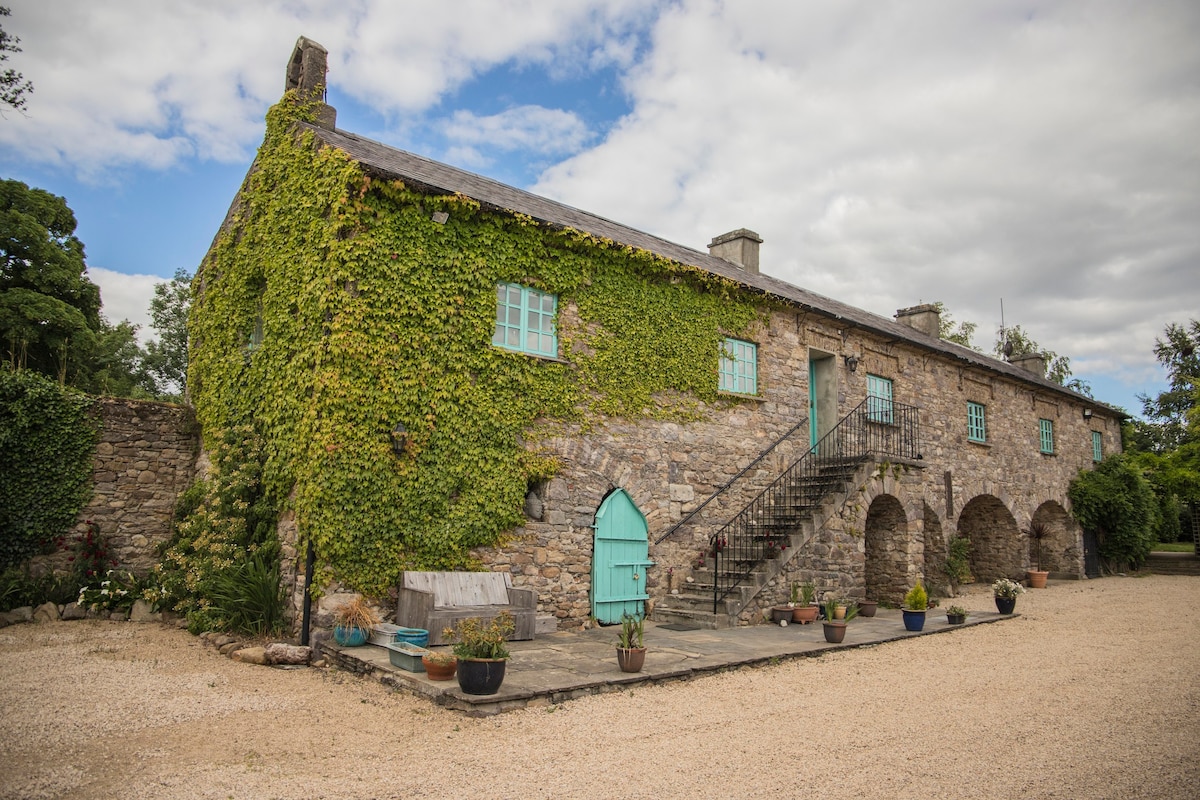 Enclosure in SheastownEnclosure · 622 yd
 Church (in Ruins)Church · 882 yd
 CastleCastle, unclassified · 1061 yd
 Castle (in ruins)Castle, unclassified · 1.2 mi
 Dunbell Big RingfortWood · 1.4 mi
 O'Gorman's Lane LoopWalking route · 2.0 mi
 Time CapsuleMemorial · 2.0 mi
 Ivan PowerMemorial · 2.1 mi
 WelcomeVisitor information · 2.7 mi
Other information
Photo: Credit not shown in the picture search · Rights wording not checked; contact us if this picture should be removed