What is recorded here
A field system of small irregular-shaped fields extending to N and NE of a possible enclosure (SL020-121001-) was identified on an aerial photograph (ACP V203/111-2). There are no visible surface remains.
Compiled by: Geraldine Stout
Date of uploaded: 4 November 2013
The monument record does not grant public access. Check the route and ask the landowner before entering private land.
- What survives
- Recorded monument
Places near here
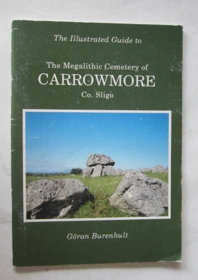 TobernacaltraghHoly well · 1055 yd
 Enclosure in CarrickhenryEnclosure · 1368 yd
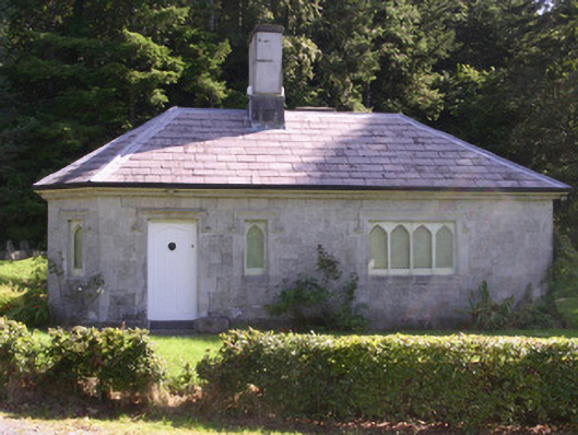 gate lodgegate lodge · 1.0 mi
 Ballydrehid Br.Bridge · 1.3 mi
 Tobernalt Holy WellSpring · 1.5 mi
 Aghamore BayBay · 1.6 mi
 Green IslandIslet · 1.6 mi
 Union RockForest · 1.8 mi
 Bernard's IslandIslet · 2.0 mi
 CastleCastle, unclassified · 2.1 mi
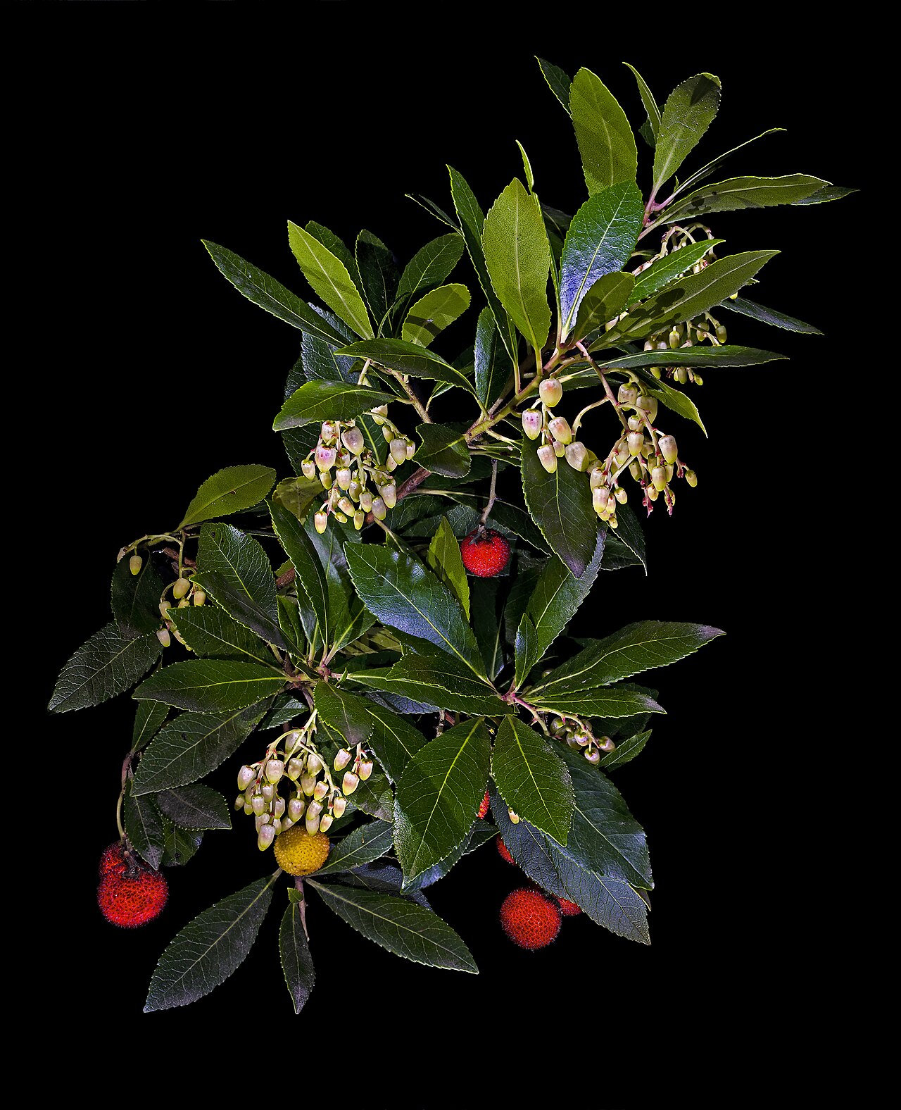 Strawberry treeStrawberry tree · 2.1 mi
 Carrowmore Megalithic CemeteryHeritage attraction · 2.4 mi