What is recorded here
Not inidcated is an ecclesiastical enclosure in Carnyara, County Sligo, Ireland. It measures 105 metres east-northeast to west-southwest and 97 metres north-northwest to south-southeast, with a collapsed sod-covered stone wall on the south-southwest, a low rise on the west-northwest and north-northeast, and a slight scarp on the northeast-east. The interior holds a possible church, a possible graveyard, a man-made underground passage in the southwest sector, and possible limekiln remains off-centre to the west. A hut site lies about 50 metres to the southwest, while field boundaries truncate the enclosure at the west and bisect its interior off-centre to the southwest.
A large oval enclosure (105m ENE-WSW; 97m NNW-SSE) (visible on an aerial photograph GSIAP, G 262-3) defined by a collapsed sod-covered stone wall (Wth 1.2-1.5m; max. H 0.6m) S-SW, by a low rise at WNW and N-NNE, and by a slight scarp NE-E. The enclosing element appears to be incorporated into the field boundary system NW-NNW. A linear NNW-SSE field boundary truncates it at W. A second field boundary (on a NNW-SSE axis) bisects the interior off-centre to SW. A possible church (SL032-141001-) and a possible graveyard (SL032-141002-) are situated in the interior off-centre to the E and a Man-made underground passage (SL032-141005-) occurs in the SW sector. Also in the interior, off-centre to the W, are the possible remains of a limekiln (SL032-141004-). A hut site (SL032-141006-) lies c. 50m to the SW. This enclosure is not indicated on the 1838 OS 6-inch map.
The above description is derived from the published 'Archaeological Inventory of County Sligo' compiled by Ursula Egan, Elizabeth Byrne, Mary Sleeman with Sheila Ronan and Connie Murphy (Dublin Stationery Office, 2005).
Date of upload: 18 January 2008
The monument record does not grant public access. Check the route and ask the landowner before entering private land.
- What survives
- Recorded monument
Places near here
 IndicatedChurch · 5 yd
 CaveMan-made underground passage · 52 yd
 Enclosure in MuckeltyEnclosure · 670 yd
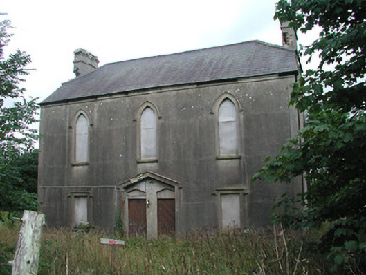 Achonry Parochial Hallchurch hall/parish hall · 1391 yd
 Muckelty HillMountain / peak · 1497 yd
 CastleCastle, unclassified · 1.6 mi
 KnocknasheeMountain / peak · 1.9 mi
 Ballyara Castle (in Ruins)Castle, unclassified · 4.0 mi
 European ashEuropean ash · 4.2 mi
 ElderElder · 4.4 mi
 The Turf Stack RockNamed rock · 5.6 mi
 Old Cave Burial GroundArchaeological place · 7.2 mi