What is recorded here
In pasture, in the NW corner of a field of flat, damp ground. There is a spring well/holy well (SL008-202002-) immediately to NE. A low, grass-covered roughly D-shaped mound (c. 15m N–S; c. 10m E–W) defined by a curving scarp at NNW–S. The scarp is more pronounced (H 0.6m) at NNW–NE but peters out to a barely discernible rise toward the S. The straight side of the mound at W is created by a N–S land drain (Wth top 2.5-3m, Wth base 0.8-1m; D 1.2m) which truncates the SW quadrant of the mound. Angular, heat-shattered stones in a black, charcoal-rich matrix are visible in section in the side of the drain for almost its full depth. It is probable that the burnt mound extends to W beneath a N–S farm road which borders the W side of the drain. Fencing and a small concrete pump house at the spring well appear to truncate the N-NE edge of the mound.
Compiled by: Jane O'Shaughnessy
Date of upload: 23 July 2014
Attached images:
SL008-202001-_01.JPG shows burnt stones visible in section face of drain
SL008-202001-_02.JPG shows low mound viewed from N
The monument record does not grant public access. Check the route and ask the landowner before entering private land.
- What survives
- Recorded monument
Places near here
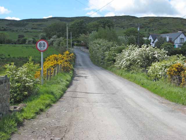 IndicatedHoly well · 10 yd
 TobernabolgogyHoly well · 1020 yd
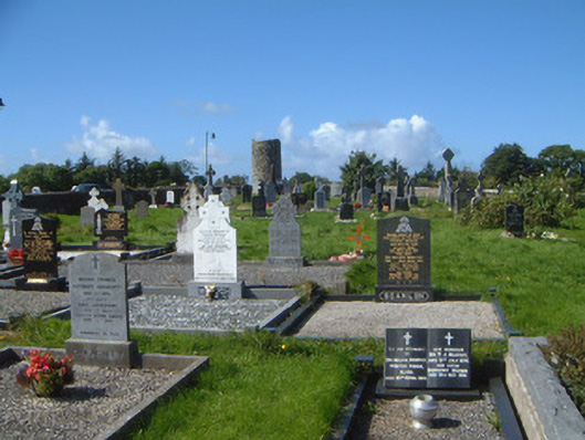 graveyard/cemeterygraveyard/cemetery · 1484 yd
 Saint Columba's Church (Drumcliff)church/chapel · 1561 yd
 Grave of WB YeatsHeritage attraction · 1562 yd
 Drumcliff CemeteryGraveyard · 1566 yd
 CastleCastle, unclassified · 1.0 mi
 Castle (in Ruins)Castle, unclassified · 2.1 mi
 Floods WoodForest · 2.1 mi
 Finned PointHeadland · 2.3 mi
 Paddy McGowan's WoodWood · 2.5 mi
 Oyster IslandIslet · 2.7 mi