
What is recorded here
Situated on a slight SSW-facing slope in gently undulating pasture. Marked and named on both the 1836-7 and 1940-1 editions of the OS 6-inch map. The well has been filled in and there are no remains visible at ground level.
Compiled by: Patrick F. O'Donovan
Date of upload: 21 April 2011
Tobernabolgogy is traditionally associated with Saint Columba, a key figure in early Irish Christianity, and is linked to local healing practices. The name "Tobernabolgogy" may derive from "Tobar na Bó Láthair," suggesting a well connected to a miraculous or sacred cow in local folklore.
The monument record does not grant public access. Check the route and ask the landowner before entering private land.
- What survives
- Recorded monument
Places near here
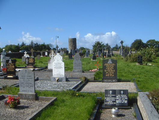 graveyard/cemeterygraveyard/cemetery · 513 yd
 Stone crossCross, High cross · 559 yd
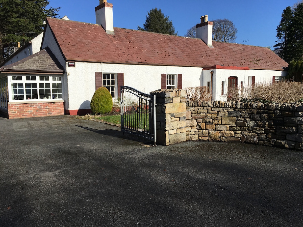 Embanked enclosure in Drumcliff SouthEmbanked enclosure · 564 yd
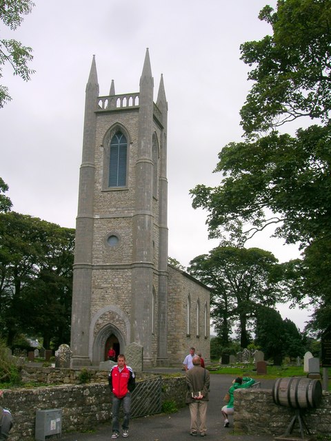 Saint Columba's Church (Drumcliff)church/chapel · 575 yd
 Drumcliff CemeteryGraveyard · 582 yd
 Grave of WB YeatsHeritage attraction · 582 yd
 CastleCastle, unclassified · 1446 yd
 Castle (in Ruins)Castle, unclassified · 1.5 mi
 Floods WoodForest · 1.8 mi
 Kings MountainMountain / peak · 2.2 mi
 Paddy McGowan's WoodWood · 2.3 mi
 Finned PointHeadland · 2.4 mi
Other information
Photo: Credit not shown in the picture search · Rights wording not checked; contact us if this picture should be removed