What is recorded here
In the base of a broad valley of flat, damp pasture, stretching c. 800m to W to the E shoreline of Drumcliff Bay, and overlooked to N by the looming bulk of Ben Bulben. The valley is now criss-crossed by a network of drainage ditches. There is a field ditch/canalised stream, on roughly E−W axis, 8m to S of the enclosure, and to S of that, the flat land extends for a further c. 100m before meeting rising slopes. Approximately 50m to N of the enclosure, ground rises in a gradual slope.
This enclosure is not shown on any edition of the OS 6-inch mapping. It was first identified on Lidar imagery (pers. comm. Dr Steve Davis, UCD School of Archaeology), and is also visible in current aerial imagery.
A flat circular area (c. 70m) is defined by low remnants of an earthen bank (Wth 3-4m; H 0.1-0.2m). The bank has been levelled in the past and its outline is now barely discernible at ground level: It can be traced at WNW−E as a very low profile, broad grass-covered rise; there is a large break (Wth 18m) at E−ESE; the bank is visible as barely discernible undulation/cropmark at SE−S, and cannot be traced at S−W.
The interior is not raised, and is wet and soggy underfoot, especially so in the W half. A later field ditch (Wth c. 2m) on a NNE−SSW axis cuts through the centre of the enclosure.
Attached images:
SL008-196----_01.JPG Enclosure viewed from N
SL008-196----_02.JPG NW arc of enclosing bank, viewed from N
SL008-196----_03.JPG NE arc of enclosing bank, viewed from NE
Compiled by: Jane O'Shaughnessy
Date of upload: 16 November 2020
The monument record does not grant public access. Check the route and ask the landowner before entering private land.
- What survives
- Recorded monument
Places near here
 Tober PatrickHoly well · 211 yd
 Tober Columbkille (Site of)Holy well · 470 yd
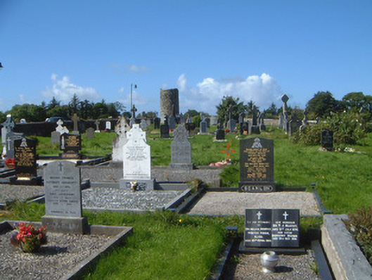 graveyard/cemeterygraveyard/cemetery · 987 yd
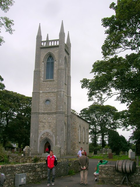 Saint Columba's Church (Drumcliff)church/chapel · 1017 yd
 Drumcliff CemeteryGraveyard · 1027 yd
 Grave of WB YeatsHeritage attraction · 1033 yd
 CastleCastle, unclassified · 1.1 mi
 Castle (in Ruins)Castle, unclassified · 1.8 mi
 Floods WoodForest · 2.1 mi
 Kings MountainMountain / peak · 2.2 mi
 Paddy McGowan's WoodWood · 2.6 mi
 Finned PointHeadland · 2.7 mi
Other information
Photo: Credit not shown in the picture search · Rights wording not checked; contact us if this picture should be removed