What is recorded here
In a rath (MA039-074001-). In 1953 R.B. Aldridge recorded that a Man-made underground passage was said to be located on the N side of the rath (unpublished NMI Topographical Files/SMR file). A subcircular depression (diam. 3-4m; D 0.5m) located close to the inner edge of the bank at SW, with another very slight depression (4m E–W; 3m N–S) immediately to E, and a shallow extension to NE, may indicated the presence of a Man-made underground passage, although they do not fit with the tradition of a location on the N side of the rath.
Compiled by: Jane O’Shaughnessy
Date of upload: 1 April 2020
The monument record does not grant public access. Check the route and ask the landowner before entering private land.
- What survives
- Recorded monument
Places near here
 Enclosure in CorroyEnclosure · 341 yd
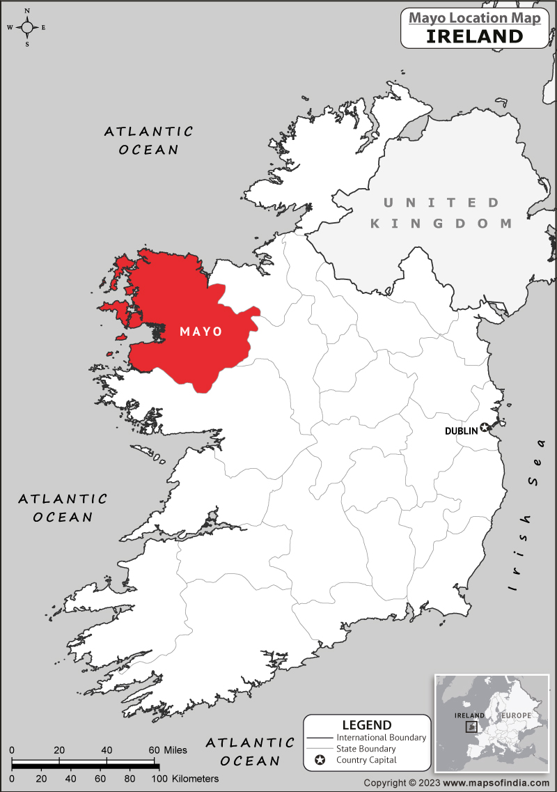 IndicatedFairy fort / earthen ringfort · 853 yd
 Gull IslandIslet · 933 yd
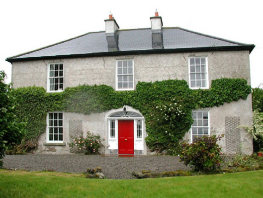 Barnfield Housefarm house · 1012 yd
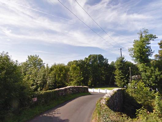 bridgebridge · 1083 yd
 Castle (in ruins)Castle, unclassified · 1.2 mi
 Cloghans CastleCastle, tower house · 1.5 mi
 Battle of Ballinabattle · 3.9 miHumbert MonumentMemorial · 4.0 mi
 Roe IslandIslet · 4.3 mi
 Drummin ForestForest · 5.0 mi
 Titanic Memorial ParkMemorial · 6.2 mi