What is recorded here
Located on the W shoreline at the narrow S end of the estuary of the River Moy. There are a number of small islands in the river at this point which are accessible across exposed sandflats at low tide. The midden is exposed in section towards the base of an almost vertical earthen scarp (H 1.5-2m) which serves as a field boundary defining the land edge bordering the river. The midden is visible as a dense layer (L c. 20m; T 0.2m) of cockle shells, with very occasional razor shells and periwinkles. The composition of the midden -predominantly cockle shells- reflects the local habitat of tidal sandflats.
Traces of another midden (MA022-124002-) are located c. 25m to N exposed in section in the same scarp. Rosserk Abbey (MA022-082001-) is located c. 80m to S.
Compiled by: Jane O’Shaughnessy
Date of upload: 17 June 2016
The monument record does not grant public access. Check the route and ask the landowner before entering private land.
- What survives
- Recorded monument
Places near here
 Rosserk AbbeyHeritage attraction · 142 yd
 Enclosure in Inishdugh IslandEnclosure · 401 yd
 HawthornHawthorn · 454 yd
 Penitential station in RosserkPenitential station · 458 yd
 Mount ReadyFairy fort / earthen ringfort · 937 yd
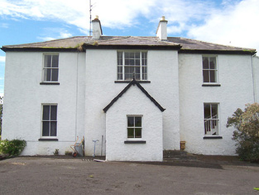 Moysdalerectory/glebe/vicarage/curate's house · 1107 yd
 Rinnachurry PointHeadland · 1253 yd
 Castleconnor (in Ruins)Castle, hall-house · 1464 yd
 Goose IslandIslet · 1.1 mi
 Ballysakeery CastleCastle, unclassified · 1.1 mi
 Rinphilip PointHeadland · 1.2 mi
 Moyne AbbeyHeritage attraction · 2.4 mi