What is recorded here
In the NW quadrant of a rath (MA014-002001-). This house consists of a rectangular area (4.5m ENE-WSW; 3.2m NNW-SSE) defined by a low heather-clad, bank of peat, earth and stone, with a possible entrance at WSW. It projects into the rath interior from the inner face of enclosing bank at NNW.
Compiled by: Jane O'Shaughnessy
Date of upload: 3 February 2015
The monument record does not grant public access. Check the route and ask the landowner before entering private land.
- What survives
- Recorded monument
Places near here
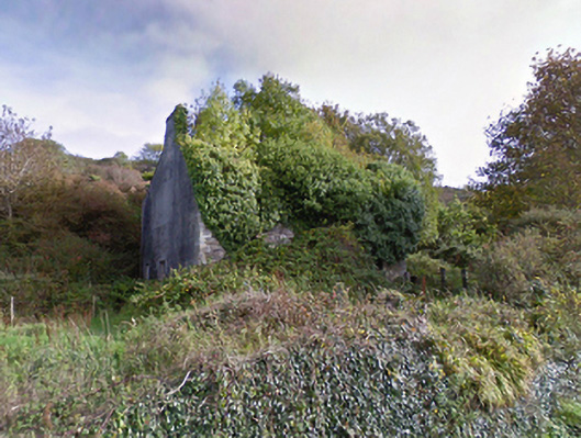 mansemanse · 750 yd
 Saint Brigid's Catholic Churchpresbytery/parochial/curate's house · 792 yd
 Enclosure in AghaleagueEnclosure · 1.2 mi
 Castle (in Ruins)Castle, tower house · 1.2 mi
 IndicatedEnclosure · 1.4 mi
 Ballycastle BeachBeach / strand · 1.7 mi
 Lisheen Grave YardArchaeological place · 1.8 mi
 Bawn in CarrickanassBawn · 3.6 mi
 PollatarriveCliff · 3.7 mi
 BlowholeCliff · 3.7 mi
 WW2 Éire MarkerHeritage attraction · 3.9 mi
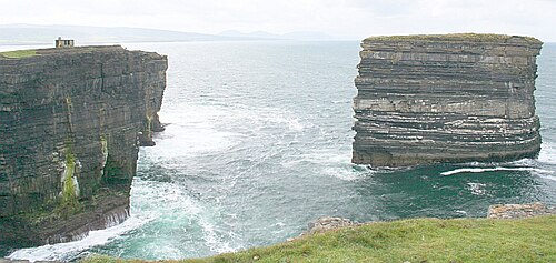 Downpatrick HeadHeadland · 3.9 mi