What is recorded here
Situated on a fairly level landscape with a slight slope down to the NE. The cropmark of a circular enclosure (diam. c. 30m) with one defining feature is visible on aerial photographs (MM (47 24, 25; ASIAP, WX 104, 8-9), and on digital aerial photographs (WX039-067_1 to _7) taken in 2006. It is conjoined to the perimeter of rath site (WX039 067001-), which is immediately to the N. There is an entrance gap at S. Archaeological monitoring (15E0412) c. 50m to the NE in Area 6a produced no related material (Sutton 2018; excavations.ie 2015:422).
The above description is derived from the published 'Archaeological Inventory of County Wexford' (Dublin: Stationery Office, 1996). In certain instances the entries have been revised and updated in the light of recent research.
Compiled by: Michael Moore
Date of upload/revision: 25 January, 2013
The monument record does not grant public access. Check the route and ask the landowner before entering private land.
- What survives
- Recorded monument
Places near here
 Enclosure in DunmainEnclosure · 772 yd
 Embanked enclosureFairy fort / ringfort · 1302 yd
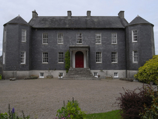 Dunmain Housefarm house · 1533 yd
 bridgebridge · 1.1 mi
 Rathumney Castle (in ruins)Castle, hall-house · 1.2 mi
 Castle (in ruins)Castle, unclassified · 1.4 mi
 Ash CollectionVisitor information · 1.5 mi
 Alder CollectionVisitor information · 1.6 mi
 The John F. Kennedy ArboretumForest · 1.8 mi
 Silver WattleSilver Wattle · 1.9 mi
 Garden of RemembranceMemorial · 2.0 mi
 John F. Kennedy Arboretum MuseumMuseum · 2.0 mi