What is recorded here
Located in a shallow basin of damp, rush-grown pasture that occupies a natural terrace on a SE-facing ridge slope. To NW the ground rises steeply to a ridge that dominates the skyline. There is a field drain, on an ENE-WSW axis, 2m to S of the mound.
This appears as a roughly circular area (c. 8m E–W; c. 6-7m N–S) marked by a covering of moss and heather, which distinguishes it from the long grass and rushes of the surrounding field. It consists of a concentration of stone fragments in black soil, overlain by a layer (D 0.2m) of peaty soil. The exact limits of the mound are uncertain.
In the same field, a possible burnt mound (MA015-084002-) is located 20m to NW, another burnt mound (MA015-084003-) is c. 35m to NW and a fulacht fia (MA015-084004-) is c. 55m to NW. Another fulacht fia (MA015-083----) is located 80m to SSW.
Compiled by: Jane O’Shaughnessy
Date of upload: 13 December 2018
The monument record does not grant public access. Check the route and ask the landowner before entering private land.
- What survives
- Recorded monument
Places near here
 Enclosure in SteelaunEnclosure · 420 yd
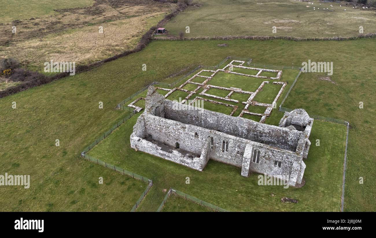 Enclosure in RathfranEnclosure · 701 yd
 farm housefarm house · 816 yd
 CastlenageehaCastle, unclassified · 1125 yd
 TrabaunBeach / strand · 1429 yd
 Summerhill Housecountry house · 1533 yd
 French Landing 1798Memorial · 1.8 mi
 Rinnaun PointHeadland · 1.9 mi
 CastleCastle, unclassified · 2.2 mi
 Green IslandIslet · 2.4 mi
 Battle of Killalabattle · 2.6 mi
 Battlefields of MoyneBattlefield · 3.4 mi