What is recorded here
In forestry, on a N-facing slope, 20m E of a townland boundary with Kilmacanearla South. Ringfort (LI030-097----) lies 75m to SW. Not depicted on OSi historic maps. Identified as a rectangular-shaped enclosure on GSI aerial photo (R.546). Monument surveyed by the ASI in 1996 and described as access not gained. Monument is visible as a rectangular-shaped earthwork (21m NW-SE; 20m NE-SW) on Google Earth orthoimages taken 08/04/2015 and 16/03/2016. Obscured by a self-seeded woodland area, to N of a forest road running WNW-ESE on the Google Earth orthoimage taken 24/09/2018.
See attached Google Earth orthoimages taken 08/04/2015, 16/03/2016 and 24/09/2018
Compiled by: Alison McQueen and Vera Rahilly
Date of upload: 22 October 2020
The monument record does not grant public access. Check the route and ask the landowner before entering private land.
- What survives
- Recorded monument
Places near here
 Lissyfine - Hachured (1924).Fairy fort / stone ringfort · 462 yd
 Toberanearla (1924).Holy well · 1029 yd
 Abbey (in ruins) (1924).Religious house, unclassified · 1175 yd
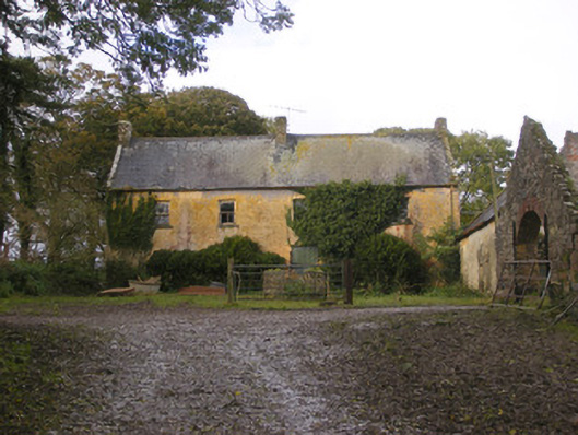 Dollas Housefarm house · 1.2 mi
 Kilmacow Ho.Bawn · 1.3 mi
 Castle (in ruins)Castle, unclassified · 1.6 mi
 KnockfeerinaMountain / peak · 1.6 mi
 Famine stoneMemorial · 2.2 mi
 Kinnoor WellSpring · 2.2 mi
 Dysert AenghusaHeritage attraction · 3.2 mi
 European ashEuropean ash · 3.6 mi
 Biodiversity in the Maigue CatchmentVisitor information · 3.7 mi