What is recorded here
Located on the broad plateau of the Porch Field. The shortest distance between the towns of Trim (ME036-048----) and Newtown Trim (ME036-049----) is along this route from the Sheep Gate (ME036-048011-) of Trim to the Augustinian priory (ME036-049003-) as was first recognised by Kelly (2005, 23-43), who quotes a grant from 1476 ‘of 15 acres of arable land lying between the road which goes from the Porch-gate of Trim to the Newtown’. The road is not clearly visible at the porch gate but c. 100m E of this it survives as a sunken hollow-way (Wth of top 5m; Wth of base 2m; D 0.2-0.5m) with hedge growth (L c. 300m) represented as a field bank on the OS 6-inch maps. On the E side of the Ring-road (R154) it is not immediately apparent but c. 100m from that road it emerges as a broad bank (Wth of base c. 6m; H 0.3m at N; H < 0.1m at S; L c. 200m) after which the hollow way (Wth of top 5m; Wth of base 2.7m; D 0.2-0.4m) resumes (L c. 300m) almost as far as the abbey.
Compiled by: Michael Moore
Date of upload: 9 July 2019
The monument record does not grant public access. Check the route and ask the landowner before entering private land.
- What survives
- Recorded monument
Places near here
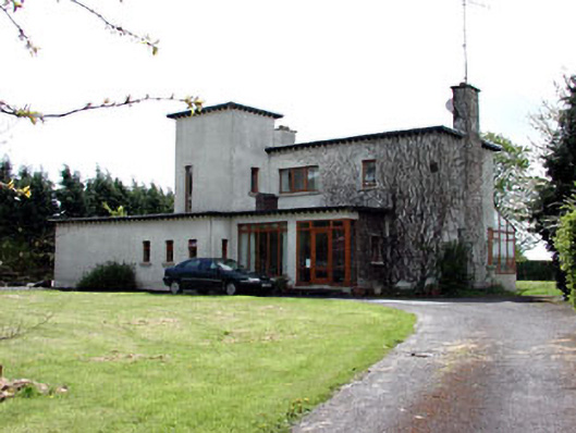 White Lodgehouse · 283 yd
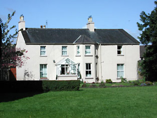 Lackanash Cottagehouse · 361 yd
 Fortification in Manorland (1st Division)Fortification · 550 yd
 CastleCastle, hall-house · 562 yd
 Trim CastleCastle, Anglo-Norman masonry castle · 565 yd
 Newtown AbbeyCathedral · 679 yd
 Small-leaved ElmSmall-leaved Elm · 3.5 mi
 Saints IslandForest · 3.5 mi
 Kilgar GardensHeritage attraction · 9.1 mi
 MullaghMountain / peak · 9.1 mi
 Old Bog Road made famous by Teresa Bryton 1868-1943Memorial · 9.3 mi
 Larchil Arcadian GardensHeritage attraction · 9.4 mi