What is recorded here
This site was located in the industrial peatlands of Kinnegad Bog. The 2013 survey recorded the sighting as a roundwood aligned N–S and exposed in the drain face. The monument was visible in the opposing drain face where a single longitudinal roundwood was visible. The wood was shredded from milling. Neither sighting was sampled for radiocarbon or wood species analysis (Bermingham 2014).
Excavation in 2015 (licence: 15E0166) revealed that this site in fact is part of a previously unrecorded sighting of Road – Class 1 togher, ME-KRS001, east of the last sighting ME-KRS0001g recorded during the 2013 survey. The roundwood element recorded in the sighting as ME-KRS021 lay immediately along the N extent of the brushwood associated with ME-KRS0001. It was identified as birch, and measured 1.5m in length and 0.06m in diameter. The other elements exposed during excavation consisted of longitudinal split oak planks supported by a large, rough, gnarled transverse timber, with a supporting bed of irregularly-laid brushwood. Two sightings at the eastern extent of this site were excavated in 2007 under licence 07E0496 (Rohan & Corcoran 2009) and subsequently dated to 1540 ± 9 BC. During the 2015 excavation, the site was dated to cal. 1759-1566 BC, UBA-31811 (Whitaker 2017).
Compiled by: David O’Connor, Edited by: Femke Vleeshouwer, 15 April 2020
Date of upload: 21 November 2014
The monument record does not grant public access. Check the route and ask the landowner before entering private land.
- What survives
- Recorded monument
Places near here
 EnclosureEnclosure, large enclosure · 604 yd
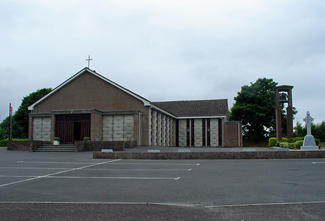 Catholic Church of the Assumptionchurch/chapel · 1.5 mi
 OutlinedFairy fort / earthen ringfort · 1.5 mi
 Kinnegad Bridgebridge · 1.6 mi
 Ardnamullan CastleCastle, tower house · 2.2 mi
 Castle JordanArchaeological place · 2.4 mi
 Rahin WoodsForest · 3.0 mi
 Roundhill WoodForest · 3.2 mi
 Croppies' GraveMemorial · 4.4 mi
 Moat HillMountain / peak · 4.8 mi
 Sli na Slainte - mapVisitor information · 12 mi
 Allen family memorial headstoneMemorial · 12 mi