What is recorded here
Map note: Near Kingdom, Perth and Kinross, Scotland, the map records North Belting Wood as a wood. If the name sparks an outdoor daydream, start with the map.
From OpenStreetMap (© OpenStreetMap contributors) w213562994
Places near here
Photo credits
- Maker not stated on source page, ru.advisor.travel
- Richard Webb, Wikimedia Commons · CC BY-SA 2.0
- Maker not stated on source page, uk.pinterest.com
- Maker not stated on source page, www.alamy.com
- Maker not stated on source page, www.pinterest.com
- Maker not stated on source page, www.flickr.com
- Maker not stated on source page, britishlistedbuildings.co.uk
- Maker not stated on source page, www.gardenvisit.com
 Megginch Castle, North LodgesLodge(s) (18th Century) · 17 ydMegginch Castle, the Long Walk, Gothic ArchArchway (19th Century) · 550 yd
 InchmichaelLamp (stone), Lithic Implement(s) (stone) · 585 yd
 Megginch Castle, West LodgeGate Lodge · 600 yd
 Mapped cemeteryCemetery · 638 yd
 Errol, Megginch Castle, KingdomFarmhouse (18th Century) · 674 yd
 Pannoch WoodWood · 688 yd
 Megginch Castle, IcehouseIcehouse (18th Century) · 705 yd
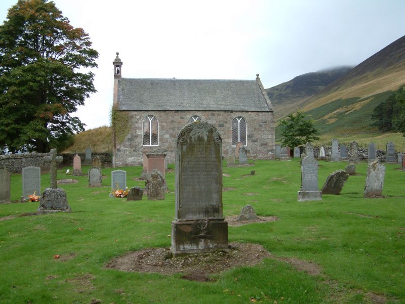 Megginch Castle, Chapel and Burial GroundBurial Ground (17th Century), Chapel (17th Century), Mausoleum (19th Century), Sundial (19th Century) · 775 yd
 Megginch Castle, Walled GardenSundial, Walled Garden (19th Century), Walled Garden (18th Century) · 817 ydMegginch Castle, GardenBowling Green (19th Century), Fountain(s) (19th Century), Garden (19th Century), Sundial(s) · 830 ydMegginch CastleCastle (15th Century), Tower House (16th Century) · 873 yd
More woods, forests and old trees in Perth and Kinross · All of Perth and Kinross

What do you know about this place?Tap to add a comment or ask a question