What is recorded here
Formerly incorporated into a field wall at the entrance to a farmyard a short distance SW of a possible Cistercian abbey (SL019-043001-). Recorded in 1994 as an oval stone with rounded edges (0.42m x 0.31m; T 0.15m). At one end of the flat upper surface is a small circular depression (diam. 0.18m; D 0.09m). This monument has been removed, believed stolen, since at least 2004.
Compiled by: Patrick F. O'Donovan
Date of upload: 19 January 2011
This remains an important historical record, but the official description says the monument is no longer visible or has been destroyed. The monument record does not grant public access. Check the route and ask the landowner before entering private land.
- What survives
- No visible remains or recorded as destroyed
Places near here
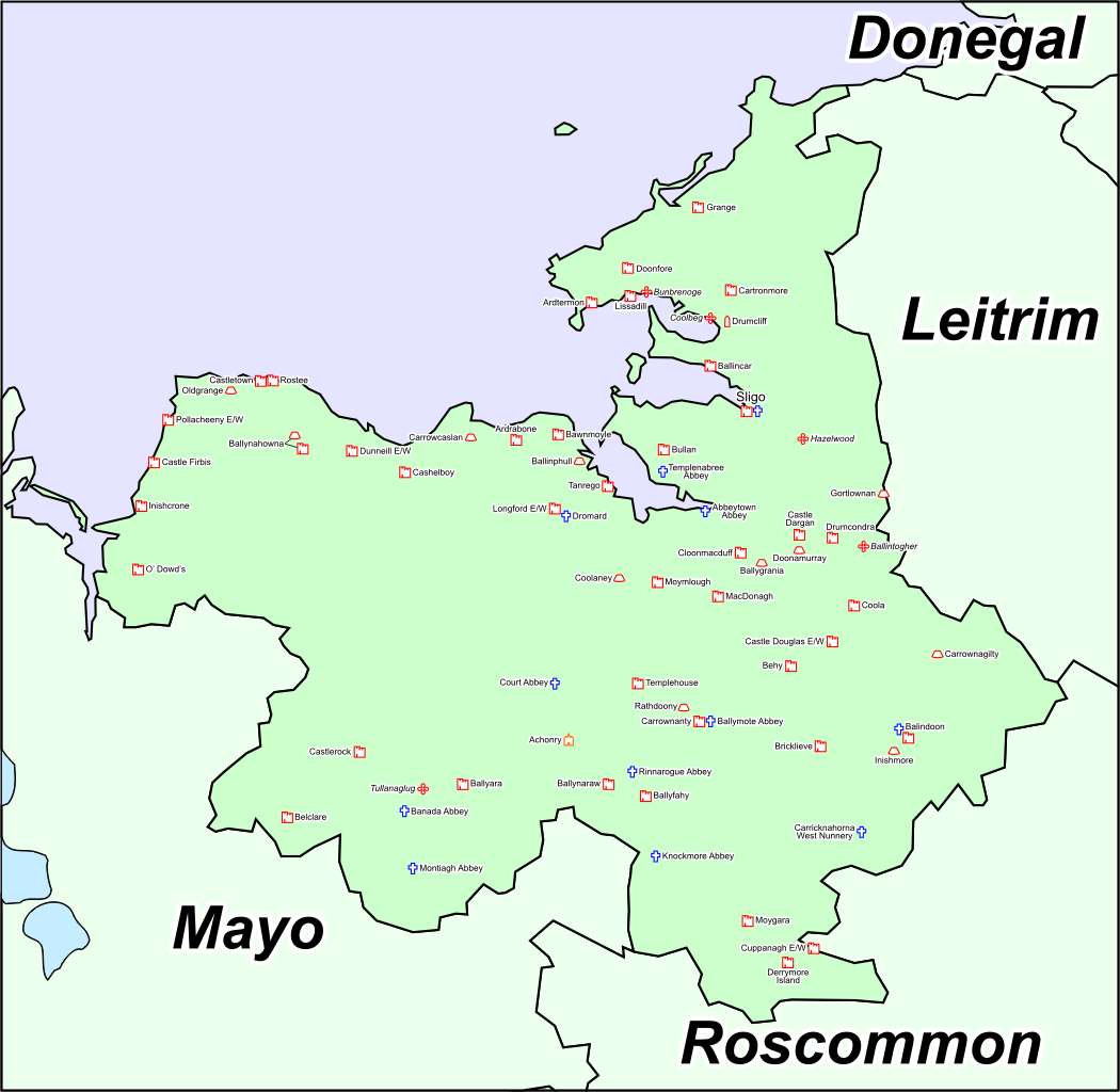 Font in Ballinlig (tireragh By.)Font · 297 yd
 Enclosure in Ballinlig (tireragh By.)Enclosure · 580 yd
 Lahanacappul IslandIslet · 742 yd
 CastleCastle, ringwork · 1023 yd
 Ballinlig PointHeadland · 1136 yd
 Giant's GraveArchaeological place · 1254 yd
 Portavaud PointHeadland · 1393 yd
 Carrowgarry Househouse · 1658 yd
 Bawn in Tanrego WestBawn · 1.0 mi
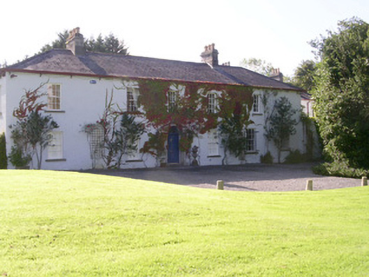 Tanrego Househouse · 1.1 mi
 CulleenamoreBeach / strand · 1.8 mi
 European ashEuropean ash · 2.1 mi