What is recorded here
On level ground at the foot of a N-facing slope. Visible on an aerial photograph (DoD, 1999). This is a low, grass-covered, very slightly domed, sub circular earthen mound (diams. 10.1m N-S; 8.3m E-W; H 0.2m).
Compiled by: Gearóid Conroy
Date of upload: 10 June 2011
The monument record does not grant public access. Check the route and ask the landowner before entering private land.
- What survives
- Recorded monument
Places near here
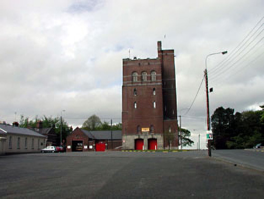 Curragh Camp Fire Stationfire station · 720 yd
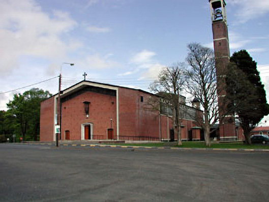 Saint Brigid's Catholic Churchchurch/chapel · 774 yd
 Enclosure in Curragh (ballysax East Ed)Enclosure · 872 yd
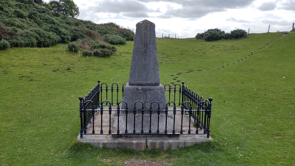 Donnelly's HollowMonument · 1.1 mi
 CastleCastle, unclassified · 1.5 mi
 TumulusCastle, motte and bailey · 1.7 mi
 ElderElder · 1.7 mi
 Newbridge SilverwareMuseum · 2.0 mi
 Pollardstown Fen Nature ReserveNature reserve · 2.5 mi
 Saint Fiachra's GardenHeritage attraction · 3.1 mi
 Grand Canal WayVisitor information · 8.0 mi
 Bithia Mary CrokerMemorial · 8.4 mi