What is recorded here
In pasture, immediately N of road that marks townland boundary with Goat Island and 90m NE of townland boundary with Uregare. Site of Uregare Church (LI040-003----) 300m to SW. One of three corn-drying kilns (LI040-006004/005-) located inside a medieval field system (LI040-006001-) identified during monitoring of topsoil-stripping and excavated by Emmet Byrnes under Licence 02E0368, the results of which were summarised as follows; ‘Three unusual corn-drying kilns represented the third phase of activity. The kilns, which were earth-dug oval features 2.7–5.5m long, 1.2–2m wide and 0.22–0.27m deep, were partly lined with stone flags along the sides and base but had no defined flue. Carbonised grains, provisionally identified as bread wheat and barley, were recovered from all three features’ (Byrnes 2004, 301). Monument has been fully excavated and is not visible on aerial images.
Compiled by: Fiona Rooney
Date of upload: 20 May 2021
The monument record does not grant public access. Check the route and ask the landowner before entering private land.
- What survives
- Recorded monument
Places near here
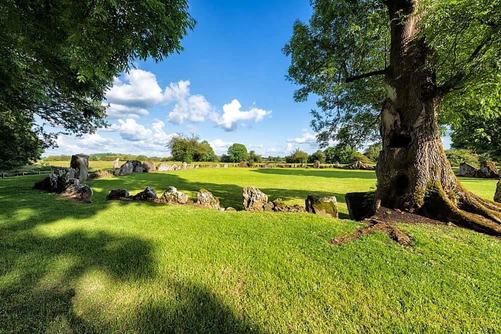 Cultivation ridges in Ballygrennan (coshma By., Bruff Ed)Cultivation ridges · 1 yd
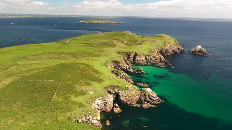 Fulacht fia in Goat IslandFulacht fia · 199 yd
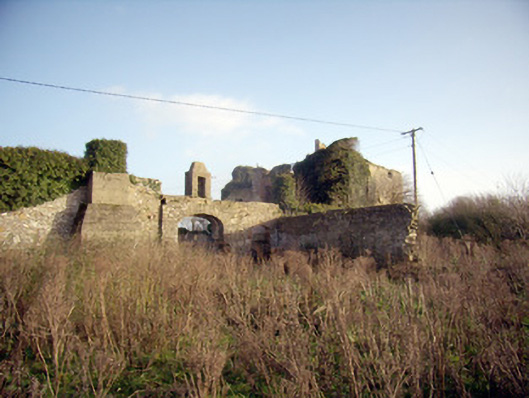 Greenpark Housecountry house · 1032 yd
 Ballygrennan Castle (in ruins)Castle, tower house · 1187 yd
 post boxpost box · 1469 yd
 Castle (in ruins)Castle, unclassified · 1.3 mi
 KnockainyMountain / peak · 3.2 mi
 Flat cemetery in Knockainy WestFlat cemetery · 3.8 mi
 St Patrick's WellSpring · 6.0 mi
 Edmund's WellSpring · 6.3 mi
 Ballinvreena LoopVisitor information · 6.3 mi
 SlievereaghMountain / peak · 7.9 mi