
What is recorded here
On top of a knoll on a slight promontory at E end of Bantry bay. Now heavily overgrown and difficult to make out. The ditch is preserved (Wth 4-4.5m; D 1.5-2m) and shows the outline of a roughly square fort (70m square) with pointed bastions at each corner; entrance to S; well in interior. Built in 1650s by Orrery; re-fortified in 1672 but demolished in 1689 (Gowan 1979, 251-3). Contemporary with the fort was a village known as Newtown which had a population of 119 in 1659 (Hourihan 1977, 86) but disappeared shortly afterwards. It was situated immediately NE of the fort (local tradition): no visible remains.
See Breen, C. 2002 'Newtown; 17-century fort and village' in I. Bennett (ed.), Excavations 2000: summary accounts of archaeological excavations in Ireland, 50-51. Wordwell Ltd, Bray.
The above description is derived from the published 'Archaeological Inventory of County Cork. Volume 1: West Cork' (Dublin: Stationery Office, 1992). In certain instances the entries have been revised and updated in the light of recent research.
Date of upload/revision: 14 January 2009
A local fairy fort (ringfort/rath); wider significance not recorded.
The monument record does not grant public access. Check the route and ask the landowner before entering private land.
- What survives
- Recorded monument
Places near here
 Newtown HouseCountry house · 105 yd
 Settlement cluster in Newtown (bantry By.)Settlement cluster · 210 yd
 Saint Brendan's National Schoolschool · 792 yd
 St. Brendans StatueMemorial · 862 yd
 Statue of Wolfe ToneMemorial · 896 yd
 Tourist OfficeVisitor information · 907 yd
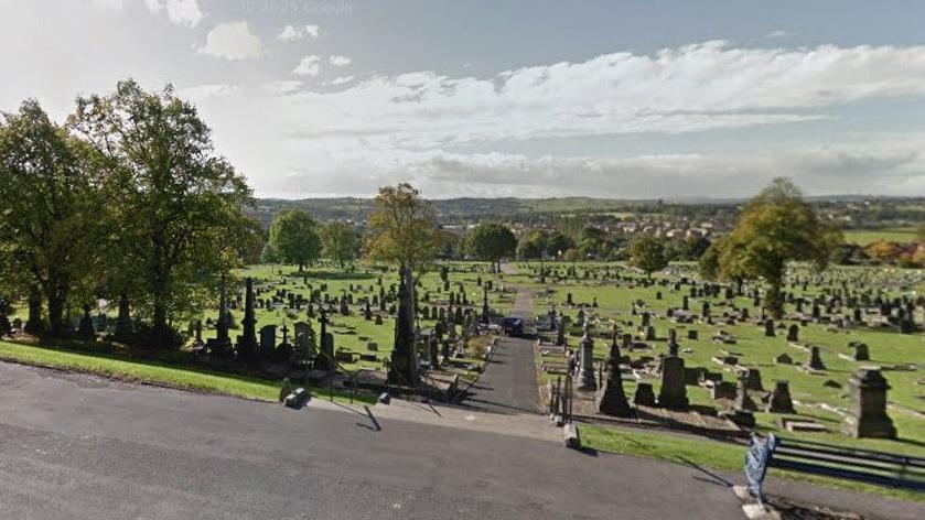 Burial Gd (Disused)Burial ground · 1440 yd
 Chapel IslandIslet · 1593 yd
 Bantry HouseHeritage attraction · 1650 yd
 GinkgoGinkgo · 1.2 mi
 Horse IslandIslet · 1.2 mi
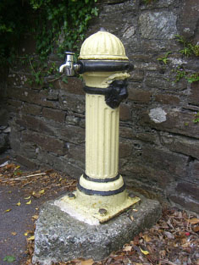 waterworkswaterworks · 798 yd
Other information
Photo: Credit not shown in the picture search · Rights wording not checked; contact us if this picture should be removed