
What is recorded here
Nether Oliver Craigs is a fort in Scottish Borders, Scotland.
Places near here
Photo credits
- Maker not stated on source page, www.flickr.com
- Callum Black, Wikimedia Commons · CC BY-SA 2.0
- Jim Barton, Wikimedia Commons · CC BY-SA 2.0
- M J Richardson, Wikimedia Commons · CC BY-SA 2.0
- Maker not stated on source page, www.dreamstime.com
- Maker not stated on source page, hu.pinterest.com
- David Medcalf, Wikimedia Commons · CC BY-SA 2.0
- Maker not stated on source page, britishlistedbuildings.co.uk
- Leslie Barrie, Wikimedia Commons · CC BY-SA 2.0
- Richard Webb, Wikimedia Commons · CC BY-SA 2.0
 Oliver CastleFort (prehistoric) · 251 yd
 GlenvegScooped Settlement (middle Iron Age) · 509 yd
 GlenruscoVillage (medieval) · 592 yd
 The ChesterSettlement · 607 yd
 Tweedsmuir Parish Church, Graveyard and Covenanter's StoneBurial Ground (post Medieval), Commemorative Monument (early 20th Century) (1910), Covenanters Grave (17th Century) (1685), Gravestone (18th Century) (1726), Obelisk (mid 19th Century) (1837) · 717 yd
 Tweedsmuir Parish Church, Sculptured StoneCarved Stone · 725 yd
 Cockiland HillFindspot (20th Century), Armlet (glass)(middle Iron Age) · 773 yd
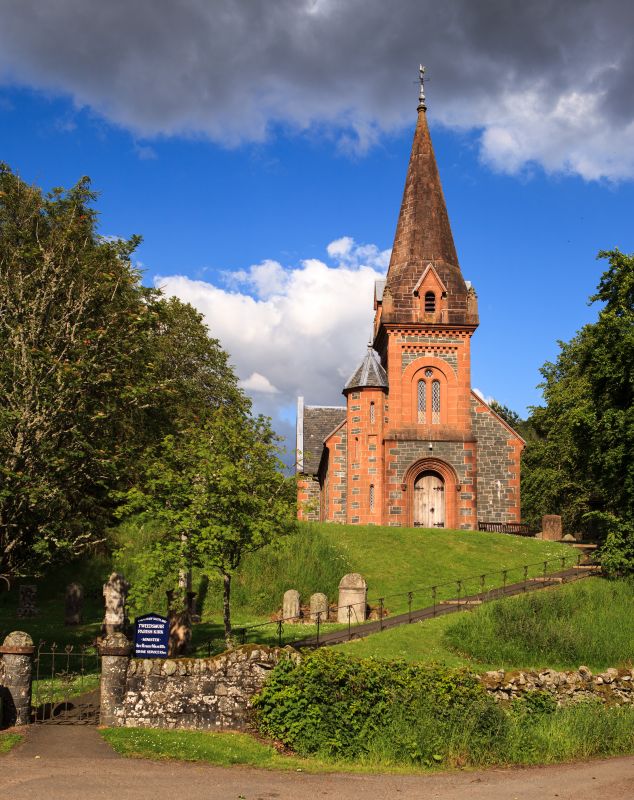 Tweedsmuir Church, QuarryQuarry · 812 yd
 Tweedsmuir, Carlows BridgeRoad Bridge (18th Century) · 1008 yd
 Tweedsmuir, Toll HouseToll House (post Medieval) · 1039 yd
 Nether Oliver DodMountain / peak · 1084 yd
 Talla WaterArchaeological Feature (possible), Scooped Settlement (possible) · 1127 yd
More archaeology and monuments in Scottish Borders · All of Scottish Borders

What do you know about this place?Tap to add a comment or ask a question