What is recorded here
Meltwater and ice retreated, but human hands still shaped the earth at Drumadonnell. The Neolithic settlement site in County Down belongs to the prehistoric era when people stayed long enough to mark the soil. They may have planted, buried, birthed or forgotten the names of those acts. The land remembers what tongues lost.
The official Northern Ireland record identifies this as NEOLITHIC SETTLEMENT SITE. Recorded period: PREHISTORIC; NEOLITHIC. The official map point was placed at the centre of the recorded archaeological site from the source map reference.
The monument record does not grant public access. Check the route and ask the landowner before entering private land.
- What survives
- Recorded monument
Places near here
 Drumgooland Presbyterian ChurchChurch · 1621 yd
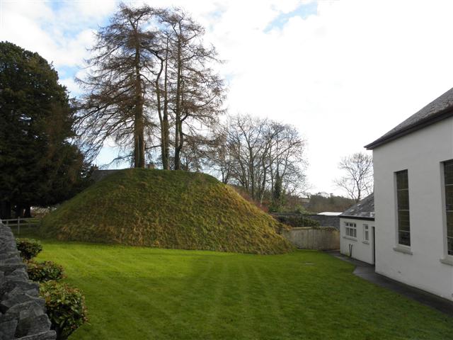 Katesbridge MoundArchaeological place · 1.1 mi
 CASTLE & RATH reused as BAILEY: SEAFIN CASTLE; Magh Cobha; Moycove in SeafinCASTLE & RATH reused as BAILEY: SEAFIN CASTLE; Magh Cobha; Moycove · 1.2 mi
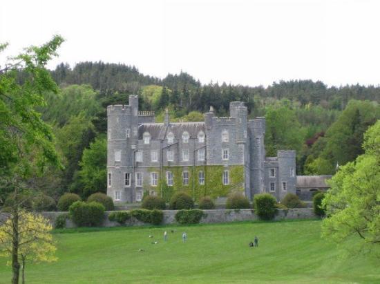 CROSS, formerly built into school, now at Castlewellan Forest Park in DrumadonnellCROSS, formerly built into school, now at Castlewellan Forest Park · 1.3 mi
 possible CHURCH site: DRUMLYN (unlocated) in Ballyroneypossible CHURCH site: DRUMLYN (unlocated) · 1.6 mi
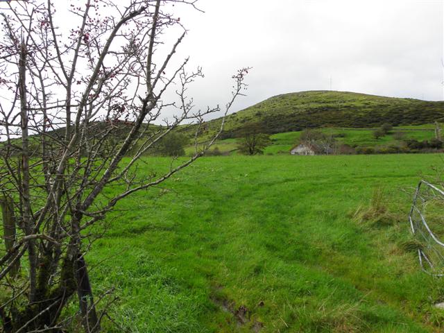 Deehommed MountainMountain / peak · 1.9 mi
 CHURCH & GRAVEYARD: DRUMGOOLAND in DeehommedCHURCH & GRAVEYARD: DRUMGOOLAND · 1.9 mi
 The Moat PadWalking route · 2.7 mi
 The Brontë CentreVisitor information · 2.7 mi
 SlievenaboleyMountain / peak · 2.9 mi
 Knockiveagh Picnic SitePicnic place · 3.6 mi
 TOWER-HOUSE: RATHFRILAND CASTLE in RossconorTOWER-HOUSE: RATHFRILAND CASTLE · 4.5 mi